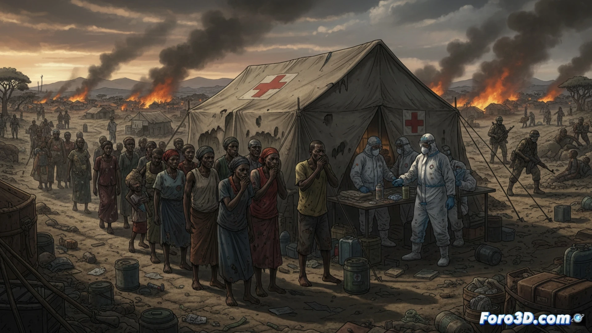
A new Ebola outbreak in the Democratic Republic of Congo is spreading through regions marked by armed violence and forced displacement. Health authorities face serious difficulties in measuring the true extent of the virus due to the weakness of local medical infrastructure. For the population, this means a higher risk of contagion and almost no access to treatments, worsening an already critical humanitarian crisis in the area.
Drones and digital mapping to track the virus in hostile terrain 🛸
The outbreak response incorporates geolocation technologies and surveillance drones to identify infection hotspots in hard-to-reach areas. Response teams use mobile devices with open-source software to record cases in real time, while portable PCR laboratories enable diagnoses in under two hours. However, the lack of stable connectivity and insecurity limit the effectiveness of these tools, which depend on fragile electrical and satellite networks.
If Ebola doesn't stop you, health bureaucracy will 📋
While the virus advances without GPS, international aid protocols get lost in customs, paperwork, and virtual meetings. Emergency kits take longer to cross a border checkpoint than Ebola itself takes to incubate. If at least the disease had a case file number, perhaps humanitarian agencies would treat it with the same urgency as an expired visa application. The irony is that the only system that works without obstacles is viral transmission.