Ávila Province Faces Intense Cold and Snowfalls in High Areas
The State Meteorological Agency confirms the arrival of a polar air mass that will cause the thermometer to plummet across the entire Ávila province in the coming days. This phenomenon will combine freezing temperatures with precipitation that, in the highest areas, will be in the form of snow. ❄️
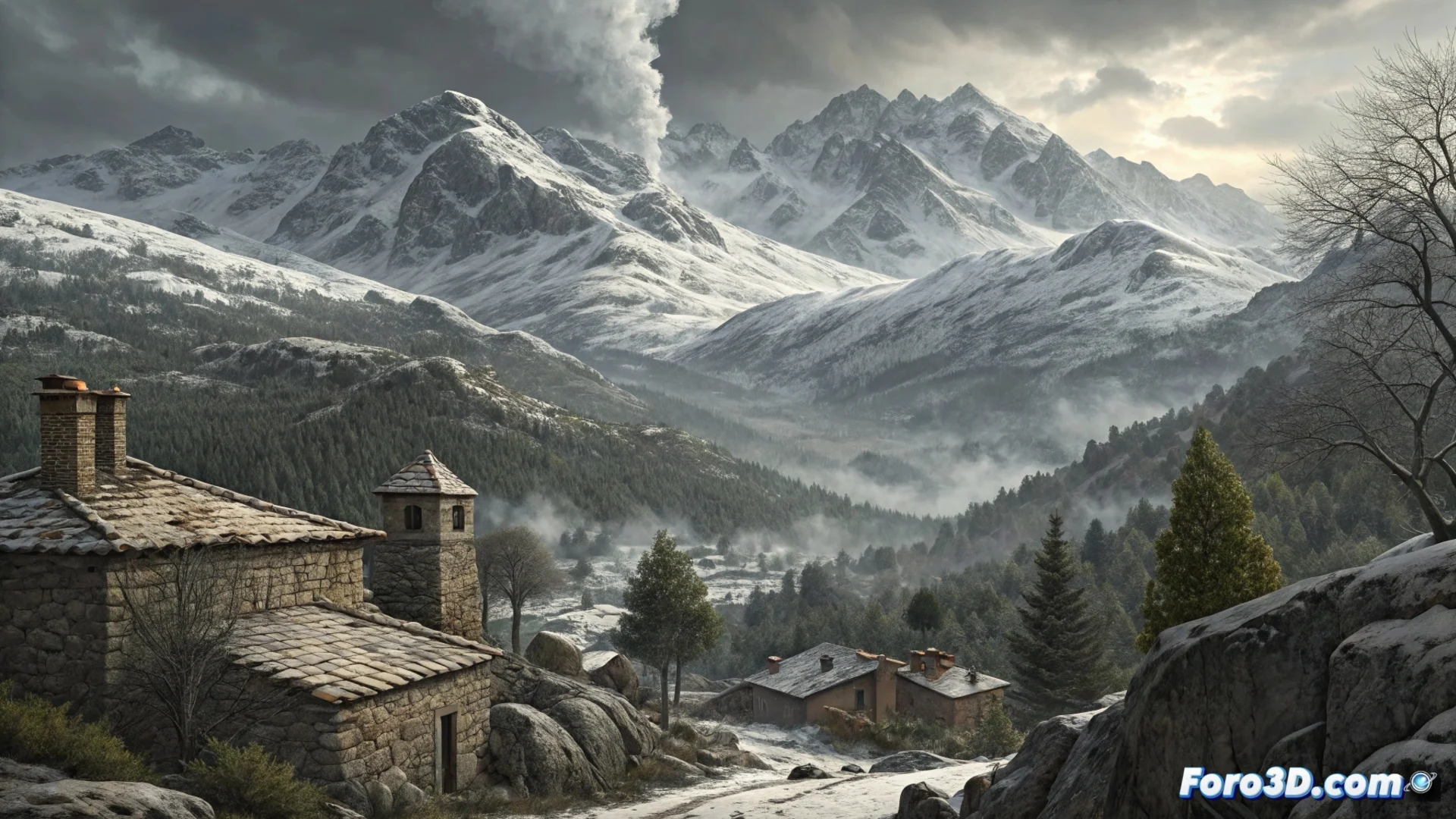
Snow in the Mountains and Circulation Problems
The most significant snowfalls will concentrate in the mountain systems. The snow level will begin around 1,400 meters, but it is expected to descend as the cold episode progresses.
Areas most affected by snow:- Sierra de Gredos and Sierra de la Paramera: High probability of snow accumulation on the ground.
- Mountain passes: Difficulties are expected for transit on these routes, with possible closures or the need to use chains.
- Other mountainous areas: Snow precipitation will also reach other high areas of the province.
The wind chill will be even lower due to the strong northerly wind.
The Cold Spreads to All Corners
Although the snow will be localized in the mountains, the intense cold will be widespread. In the capital and main towns, minimum temperatures will hover around or drop below zero degrees.
Key recommendations for the population:- Take extreme precautions when going out, with appropriate warm clothing.
- Check and ensure the proper functioning of heating systems in homes.
- Plan travel, especially to mountain areas, and carry equipment such as chains.
Two Sides of the Same Coin
While this winter weather event poses logistical and safety challenges, it also transforms the landscape. Some take advantage to capture images of the snowy landscapes, while others opt for teleworking from the warmth of home, with a blanket and a hot drink. The episode reminds us of the importance of being prepared for adverse weather phenomena. 🏔️