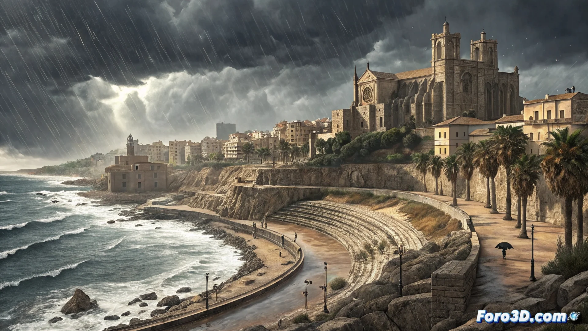
The Mediterranean low-pressure system causes persistent rains in Tarragona
An area of low pressure is positioned over the western Mediterranean, directing its direct influence toward the province of Tarragona. This pattern channels moist and unstable air toward the coast, generating a period of frequent precipitation and unsettled weather that models forecast will last several days. 🌧️
Atmospheric dynamics and forecast evolution
The situation will remain stationary, with rains that may intensify locally and be persistent. The east and southeast flow not only brings moisture but also wind that can reach intervals of strong intensity.
Expected associated phenomena:- Showers that will start weak but gain strength, especially in coastal and pre-coastal areas.
- Possibility of occasional thunderstorms with lightning.
- Wind that can cause rough seas and affect maritime navigation.
Water accumulations may exceed typical values for the season in some areas.
Areas of greatest impact and practical advice
It is essential to heed official warnings for rain and coastal wind. The distribution of precipitation will not be uniform, with the greatest intensity concentrated in certain counties.
Most exposed areas:- Coastal counties such as Baix Camp, Tarragonès, and Baix Penedès.
- In the interior, Priorat and Terra Alta will record rains, but generally weaker.
Consequences and planning
This bad weather can complicate road travel and disrupt or suspend outdoor activities. Plans such as going to the beach or hiking in mountain areas should be postponed until the low-pressure system decides to move away from the area. It is a reminder of the power of Mediterranean systems at this time of year. ⚠️