Photographers Capture the World with Drones for Photogrammetry
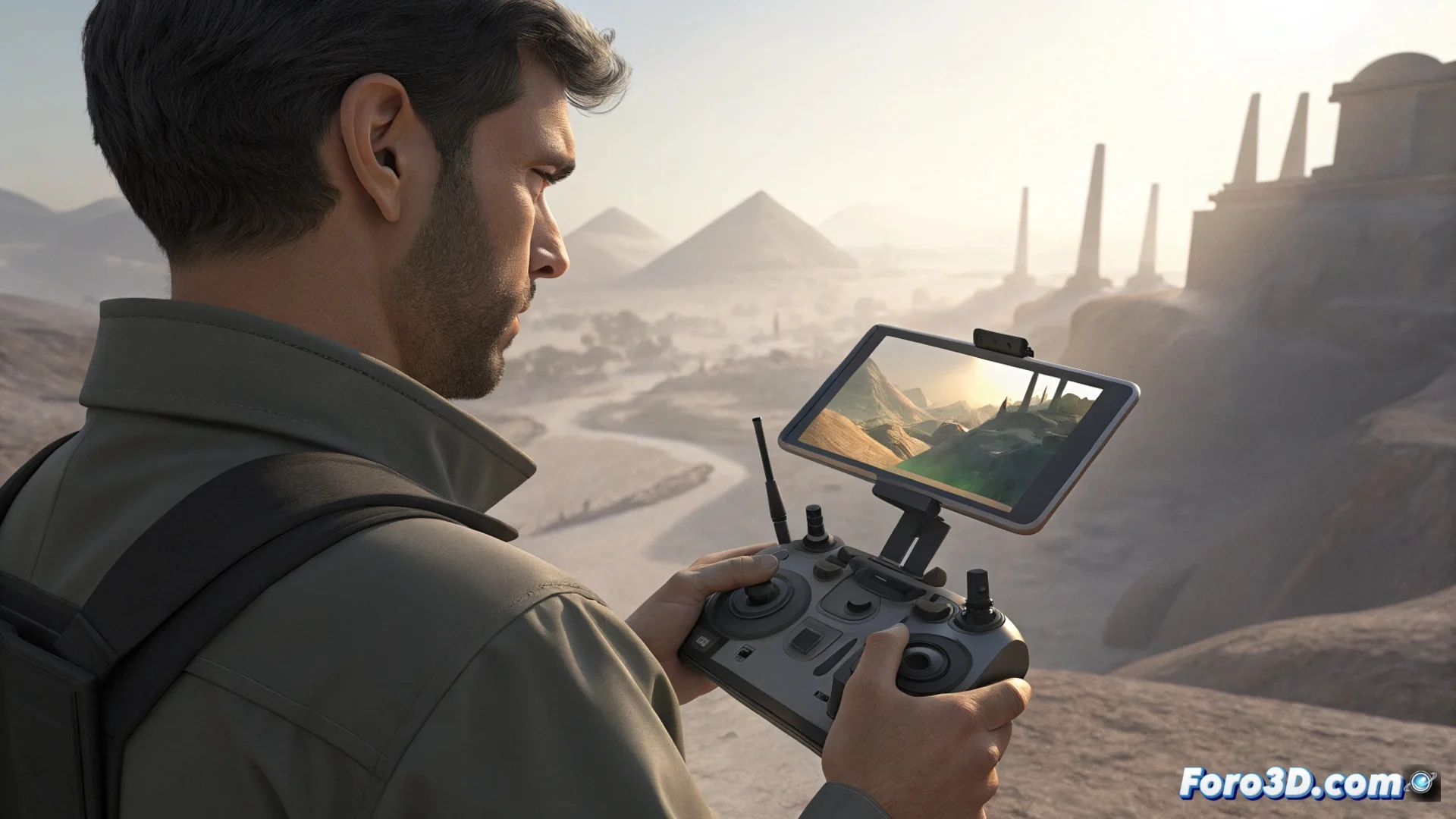
The work of the specialized photographer evolves beyond the artistic frame. Now, with drones, they capture hundreds of overlapping aerial photographs. This set of images is not the final product, but the raw material for digitally reconstructing terrains, buildings, or objects in three dimensions with great fidelity. 🚁
From Flat Photographs to Measurable 3D Models
This technique, called photogrammetry, transforms two-dimensional data into precise three-dimensional geometries and textures. Programs like RealityCapture, Agisoft Metashape, or Meshroom automatically analyze the photos. The software identifies matching points in each image, calculates the camera position, and uses triangulation to define the 3D shape. Finally, it projects the original textures onto the generated mesh, creating a fully usable digital model.
The key technical process:- The software processes the images to identify common points between them.
- Calculates the exact camera position for each shot using complex algorithms.
- Triangulates the data from the points to generate the three-dimensional geometry of the scene.
The photographer no longer just seeks the perfect frame, but the correct overlap between shots. Their art includes planning flight paths so that the algorithm understands the geometry.
Where This Technology is Applied
The uses of photogrammetry with drones are extensive and highly practical. It allows documenting and analyzing the physical world with unprecedented detail and in a non-invasive way.
Main fields of application:- Topography and cartography: To create detailed maps, calculate earth volumes, and monitor terrain changes.
- Archaeology and heritage: Documents sites and historical monuments without the need for physical contact that could damage them.
- Film and video games: Digitizes real locations to produce assets and virtual environments in an accelerated and realistic way.
- Architecture and engineering: Inspects structures, supervises construction progress, and creates faithful digital replicas of existing buildings.
The New Preparation for Flying
For this workflow to work, the capture must be impecca