Spain under DANA: when the atmosphere looks like an out-of-control Houdini simulation
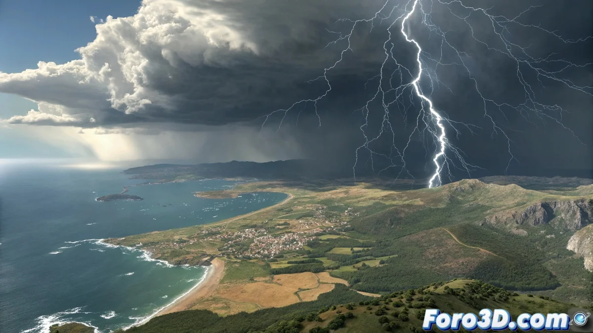
Just when we thought we had summer under control between fans and air conditioners, a new DANA is preparing to break the weather script. Between July 11 and 13, the north and Mediterranean could face violent storms with hail, while the south continues baking at 40°C. The thermal contrast is so extreme that even a Blender render would say "this is not physically possible" ⚡.
"It seems like someone activated 'random chaos' mode in the atmospheric parameters" — Frustrated meteorologist.
Where and when? The map of potential disaster
Areas on alert:
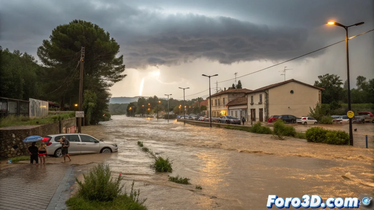
- Northern third: Persistent storms and hail
- Northeast peninsula: Intense wind gusts
- Mediterranean coast: Risk of heavy precipitation
- South: Still in "self-cleaning oven" mode
The real problem: predicting the unpredictable
Challenges:
- Weather models with wide margins of error
- Complex interaction between cold air and residual heat
- Possible formation of supercell thunderstorms
Summer 2024: the simulation no one asked for
Long-term outlook:
- Temperatures 3-5°C above average in the quarter
- Abrupt oscillations between heat waves and DANAs
- Possible increase in extreme phenomena
Tips for surviving the atmospheric chaos
- In storm areas: protect vehicles from hail
- In warm areas: hydration and avoid central hours
- For everyone: follow AEMET updates
While meteorologists adjust their models as if they were parameters of a fluid simulation, we will continue looking at the sky wondering: is this summer or a Houdini tutorial gone wrong? ☔🔥
Update: The Cantabrian Sea has changed its usual shader for a "volcanic flame" one. It's not a bug, it's a feature.