Modeling the Gakkel Ridge with FreeCAD: The Deepest Oceanic Ridge
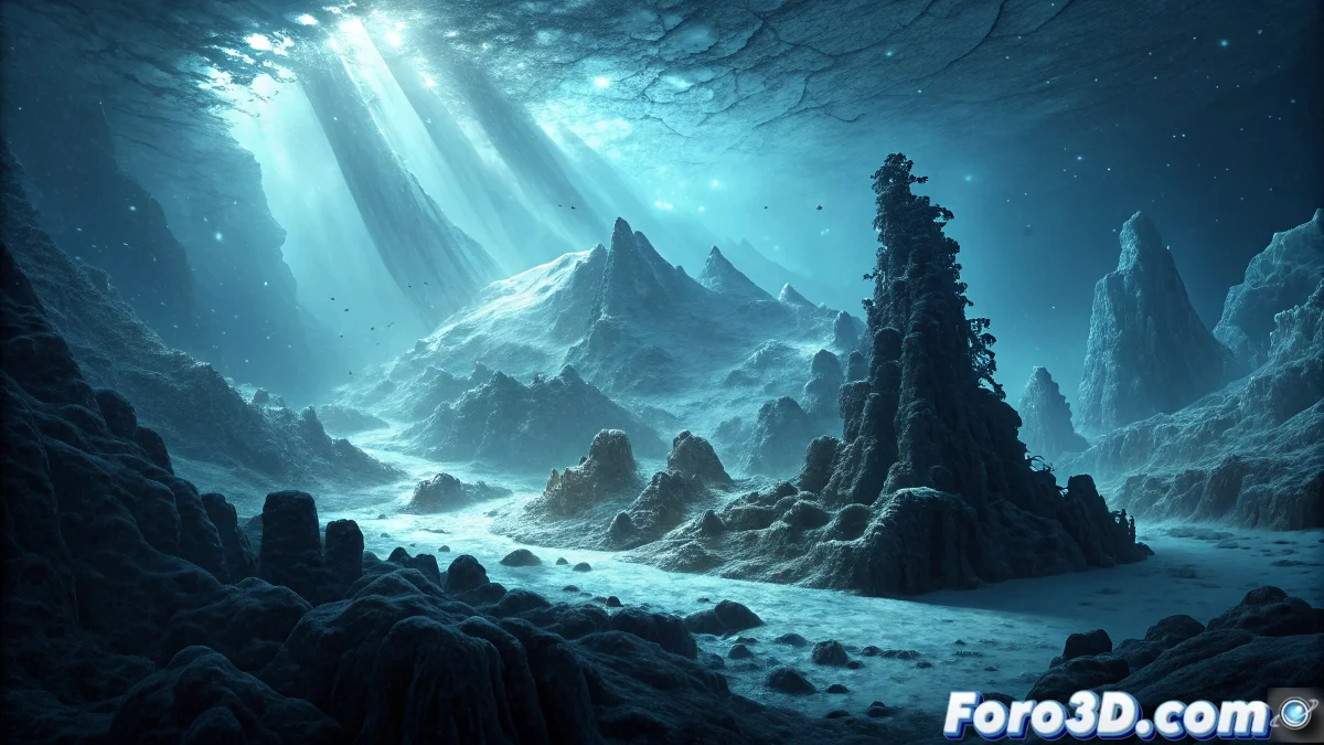
The Gakkel Ridge in the Arctic Ocean represents one of the most extraordinary geological structures on our planet, being the slowest-spreading and deepest oceanic ridge in the world, located beneath the thick Arctic ice cover. Its extreme location and inhospitable conditions have greatly hindered exploration, making it one of the greatest geological and biological mysteries regarding hydrothermal vents and life forms adapted to extreme cold. We will model this submarine wonder using FreeCAD's parametric modeling system. ❄️
Initial Setup and Topographic References
Start by researching the available bathymetric data for the Gakkel Ridge, a submarine mountain range that extends for 1,800 kilometers under the Arctic ice, with depths exceeding 5,000 meters in some areas. Use elevation maps to recreate the unique topography of this ultra-slow spreading ridge.
FreeCAD Document Preparation:- Create a new document and set metric units for scientific precision
- Configure the work grid with an appropriate scale for the ridge's extent
- Import reference data as map images for modeling guidance
"The Gakkel Ridge is like a natural laboratory for studying plate tectonics in slow motion, a process that normally occurs too quickly to observe directly" - Arctic Marine Geologist
Parametric Modeling of the Ridge Structure
Use FreeCAD's sketch and extrusion tools to create the base geometry of the submarine mountain range. The ridge features a characteristic central rift valley flanked by submarine mountains, resulting from the oceanic crust spreading process.
FreeCAD Modeling Techniques:- Sketches with splines to create the ridge's topographic profile
- Pad tool for extrusions that generate the three-dimensional structure
- Parametric constraints to maintain precise geometric relationships
Creation of Hydrothermal Vents and Chimneys
The Gakkel Ridge hydrothermal vents are particularly interesting because they operate in extreme cold conditions, unlike those of more active ridges. Model these unique structures that host specialized microbial ecosystems.
Hydrothermal Elements to Model:- Black smokers (black chimneys) with conical and columnar structures
- Mineral deposits around the hydrothermal vents
- Dispersed vent fields along the rift valley
Development of the Arctic Ice Environment
Create the sea ice layer that covers the ridge, considering the unique characteristics of Arctic ice: variable thickness, pressure from ice floes, and natural openings (polynyas) that allow some access to the underlying ocean.
Arctic Environment Modeling:- Ice surface with deformations from pressure and movement
- Variable thickness reflecting real sea ice conditions
- Natural openings that partially reveal the submarine ridge
Final Assembly and Technical Documentation
Use FreeCAD's assembly workbench to combine all components into a coherent representation of the Gakkel Ridge. Leverage the software's technical documentation capabilities to annotate important geological features, creating not only a visual model but also an educational tool about this fascinating and little-explored region of our planet. 🔬