Modeling 2D Hydraulic Flow with HEC-RAS
The HEC-RAS software suite incorporates a powerful module for simulating water behavior in two dimensions over irregular surfaces. This capability is essential for analyzing how flooding propagates in alluvial plains, urban terrains, or complex basins, overcoming the limitations of traditional one-dimensional approaches. 🌀
The core of the process: the computational mesh
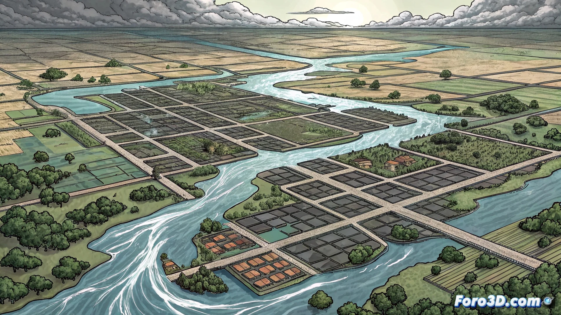
The entire model is built on a computational mesh that divides the study area into individual cells. This mesh can adopt a structured form with rectangular cells or an unstructured form, which adapts more precisely to the terrain geometry, such as river meanders or city boundaries. The quality of this discretization directly influences the accuracy of the results; a finer and more detailed mesh better captures physical phenomena, but demands more computational power and time to process.
Key features of 2D simulation:- Solves the shallow water equations in each cell for each time interval.
- Calculates primary hydraulic variables: depth and velocity of water.
- Uses digital topography data to determine how water transfers between neighboring cells.
The modeler's patience may run out faster than the plain they are simulating, especially when waiting for results from a mesh with millions of elements.
Results that inform engineering decisions
Upon running the simulation, the software generates a series of detailed maps that evolve over time. These results are not just visualizations; they are powerful analysis tools that allow identifying high-risk zones, evaluating the effectiveness of defense structures like dikes or relief channels, and planning more effective emergency responses.
Main applications of the results:- Design and optimize flood control infrastructure.
- Develop hydrological risk maps for urban planning.
- Analyze complex phenomena such as backwater effects, flow confluences, or the impact of obstacles.
Key advantage over 1D models
The main strength of 2D modeling lies in its ability to represent how water moves laterally over the terrain, an aspect that one-dimensional models, focused only on the main channel axis, cannot capture. This allows realistic simulation of situations where flow bifurcates, surrounds buildings, or stagnates in terrain depressions, providing a comprehensive and spatially explicit view of the hydraulic event. This detail is crucial for making decisions based on a complete understanding of the phenomenon. 💧