Mapareve: planning routes for electric cars
For those who drive an electric vehicle, organizing a long trip can be a logistical challenge. The Mapareve application emerges as a specific solution to this problem, focusing on calculating and managing routes that include the necessary stops to recharge the battery. 🚗⚡
How the planning system works
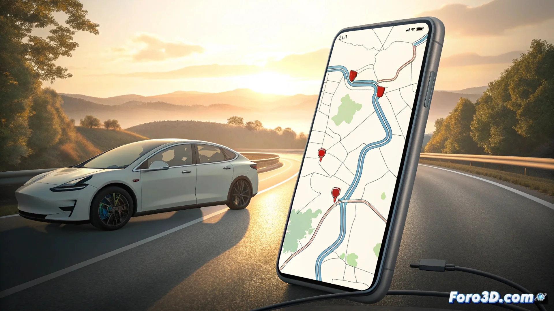
The tool processes key user information: the exact car model, the charge level with which the journey begins, and the final destination. With this data, it generates a detailed itinerary that indicates at which charging stations the driver should stop. Additionally, it estimates the time needed at each stop to recover sufficient range and reach the next point of the trip without issues.
The app manages these key elements:- Calculates the most efficient route based on the vehicle's range.
- Identifies and schedules mandatory stops at charging points.
- Shows the estimated time for each charging session.
Planning a road trip no longer involves mentally calculating if you'll reach the next plug; the app does it for you.
Real-time charger information
A crucial aspect of Mapareve is its ability to integrate updated data from multiple charging operators. The application connects to their databases to provide the user with an accurate view of the status of each point. This allows avoiding frustrating trips to stations that are not operational.
Data that the application consults:- Charger status (free, occupied, out of service).
- Available charging power.
- Connector type, to verify compatibility with the vehicle.
Limitations and practical context
Although Mapareve optimizes planning, it cannot control external factors in real time. The application guides you to the most suitable fast charger, but it cannot prevent another vehicle from already using it upon arrival, a situation that sometimes requires loading a good dose of patience as well. Its value lies in reducing uncertainty and organizing the trip with the best available information. 🗺️