Lidar Technology Discovers Smuggling Tunnels on Borders
Security agencies are implementing lidar systems to combat underground smuggling. This technology emits laser pulses that measure distances with extreme precision, generating millions of data points. By processing this information, a detailed three-dimensional model of the terrain is constructed. The fundamental premise is that any underground excavation modifies the soil structure, causing minimal surface subsidence. The lidar scanner records these topographic variations, imperceptible to the human eye, and makes them visible in digital elevation maps. This method allows for agile analysis of vast border areas without invasion, identifying suspicious areas for more detailed investigation. 🛰️
Aerial Scanning to Cover Extensive Terrain Quickly
Airplanes and drones equipped with lidar sensors fly over border limits to collect massive topographic data. This approach is optimal for examining vast or hard-to-access regions, such as desert areas or mountain ranges. Sensors from the air can filter light vegetation and obtain a model of the underlying ground. Specialized algorithms compare terrain models captured at different times. Any elevation modification, even a few centimeters, is identified as a possible anomaly. This way, teams can locate hidden entrances or vents and outline the estimated trajectory of the underground conduit.
Key Advantages of Aerial Scanning:- Allows inspection of large areas in a short time.
- Accesses difficult terrain where ground operations are challenging.
- Generates a base model of the "bare" terrain by penetrating light vegetation.
The most advanced technology often serves to confirm what is already intuited: that the challenge is not on the table, but directly beneath it.
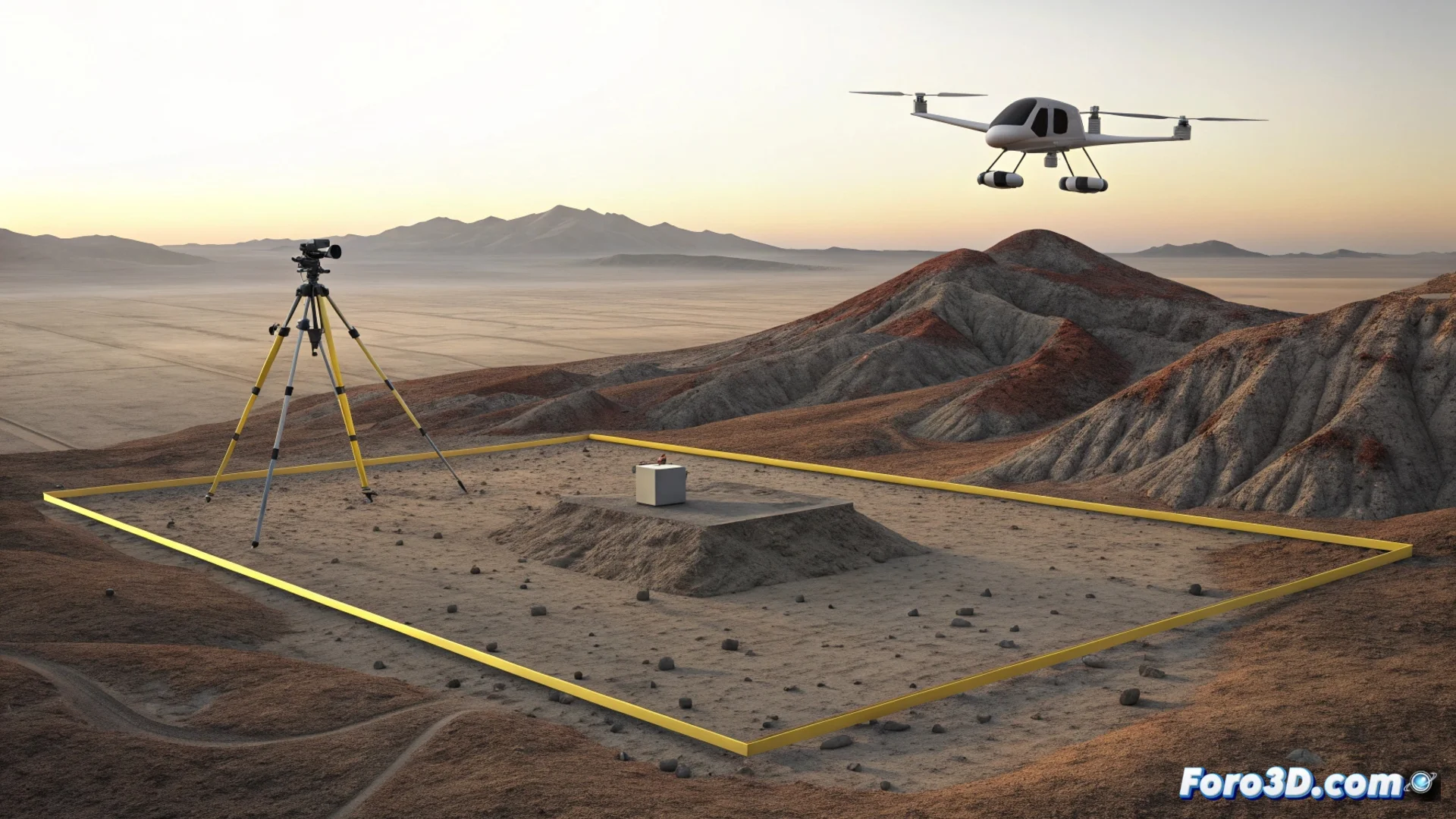
Ground Verification for Millimetric Precision
When an anomaly is detected from the air, ground teams move in to verify with accuracy. They use terrestrial lidar scanners or total stations to obtain a high-resolution 3D model of the specific site. This detailed information helps plan a safe and effective intervention. The synergy of both approaches, aerial and terrestrial, establishes a dual verification system that optimizes available resources. Unclear digging is avoided, and efforts are concentrated on the points where