HEC-RAS: The River Analysis System for Hydraulic Modeling
In the field of hydraulic engineering, the ability to predict water behavior is fundamental. The Hydrologic Engineering Center's River Analysis System (HEC-RAS), developed by the U.S. Army Corps of Engineers, stands as the de facto standard worldwide for this task. This powerful program allows professionals to accurately simulate flow in rivers and channels, transforming complex data into vital information for decision-making. 🌊
Key Features and Areas of Application
The versatility of HEC-RAS makes it an indispensable tool. Its most recognized application is the generation of flood hazard maps, calculating water surface profiles for different design flows. Beyond this, it is crucial for the analysis and sizing of infrastructure works such as bridges, culverts, levees, and spillways. Engineers can evaluate the impact of a new construction on the hydraulic regime or simulate extreme events, providing essential data for urban planning and emergency protocols.
Main uses in professional practice:- Risk mapping: Precise delimitation of areas susceptible to flooding for land-use planning.
- Structure design: Calculation of water levels and hydrodynamic forces on civil works that interact with waterways.
- Impact studies: Evaluation of how modifications to the channel or new urban developments alter hydraulic behavior.
HEC-RAS translates the brute force of nature into manageable mathematical models, allowing engineering to anticipate the power of water.
Work Methodology and System Components
The workflow in HEC-RAS is based on an intuitive graphical user interface (GUI). The process begins with the input of the channel geometry, defined through cross-sections and the properties of the involved structures. The computational core solves the fundamental hydraulic equations (energy and momentum) to deliver results in graphical and tabular formats. While its origin is in steady flow analysis, its capabilities have expanded enormously.
Modules and Advanced Capabilities:- Unsteady flow: Simulation of the temporal evolution of flow and water levels during floods or dam maneuvers.
- Sediment transport: Modeling of erosion and deposition of materials in the riverbed.
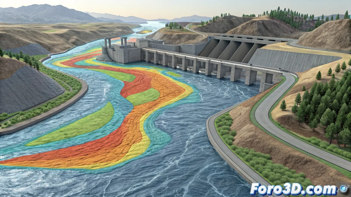
- Water quality: Analysis of contaminant dispersion or physicochemical parameters in the flow.
Technological Integration and Conclusion
One of its greatest strengths is the native integration with Geographic Information Systems (GIS). This connection facilitates the import of geometries from digital terrain models and the export of results for visualization on maps, making the analysis more intuitive and spatially explicit. In essence, HEC-RAS is the bridge between the hydraulic complexity of the real world and the need for planning and safety. It converts the unpredictable dynamics of a river into clear visualizations and quantitative data, empowering engineers to design safer infrastructure and more resilient communities. 🏗️