Halo: drone system with 3D semantic maps and autonomous navigation
The HALO system marks a milestone in drone autonomy by generating dense and semantic three-dimensional maps using only a monocular camera integrated with GPS and inertial measurement unit (IMU). This technology addresses two key challenges in aerial robotics: precise geometric reconstruction over long distances and autonomous exploration of vast spaces with contextual interpretation of the environment. Drones with HALO fly at high altitudes while identifying and classifying objects in real time, building semantically enriched spatial representations that enable intelligent interaction with the environment. 🚁
Applications in extensive and everyday environments
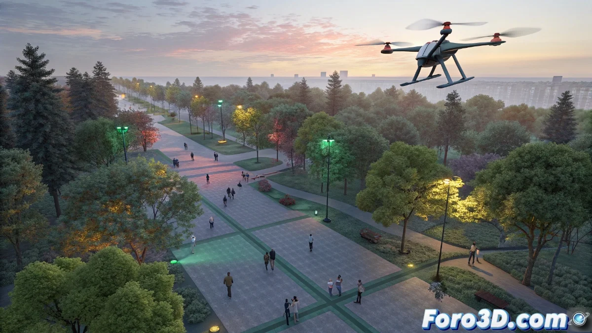
In urban scenarios like public parks, HALO demonstrates its value by allowing a drone to differentiate between elements such as trees, paths, and benches during overflight. The system responds to complex commands, such as "check all areas with benches and locate clear zones", executing these missions more quickly and effectively than traditional methods. This functionality extends to industrial environments, where it inspects large-scale facilities like airports or solar plants, designing optimal routes that cover all necessary areas without requiring continuous human supervision.
Highlighted use cases:- Exploration of urban parks with identification of benches, trees, and paths to optimize public space
- Autonomous inspection of extensive infrastructures like airports, ensuring complete coverage without intervention
- Route planning in solar fields for efficient maintenance and anomaly detection
While humans still get disoriented in shopping malls, these drones navigate kilometers of complex terrain identifying every relevant element without confusing a bench with a lamppost.
Technological integration for advanced autonomy
The core innovation of HALO lies in the harmonious fusion of visual perception, precision navigation, and semantic understanding. The monocular camera captures visual data that, when processed together with GPS and motion sensor information, enables reconstructing the environmental geometry while recognizing and categorizing objects. This integration empowers drones to perform complex missions fully autonomously, from initial exploration to executing specific tasks based on contextual understanding of the space.
Integrated technological components:- Monocular camera for real-time visual data capture
- GPS and IMU for precision navigation and flight stabilization
- Semantic processing algorithms for object identification and classification
Impact and future prospects
The HALO system not only overcomes the limitations of conventional methods but also sets a new standard in aerial robotic autonomy. By combining geometric reconstruction and semantic understanding, drones can operate in dynamic and large-scale environments with unprecedented efficiency. This technology promises to revolutionize applications in surveillance, precision agriculture, and disaster management, where contextual interpretation and autonomous navigation are crucial. The future of aerial robotics advances toward increasingly intelligent and adaptive systems, with HALO leading this transformation. 🌟