Gpr-slice: software for processing ground-penetrating radar data
In the field of geophysical prospecting, Gpr-slice stands out as a specialized application for processing, visualizing, and interpreting the information captured by a ground-penetrating radar (GPR). This equipment emits electromagnetic pulses that penetrate the soil, allowing the location of objects and analysis of hidden strata. The software transforms raw field data into two-dimensional and three-dimensional models that professionals can examine. 🛠️
Organizing profiles and generating horizontal slices
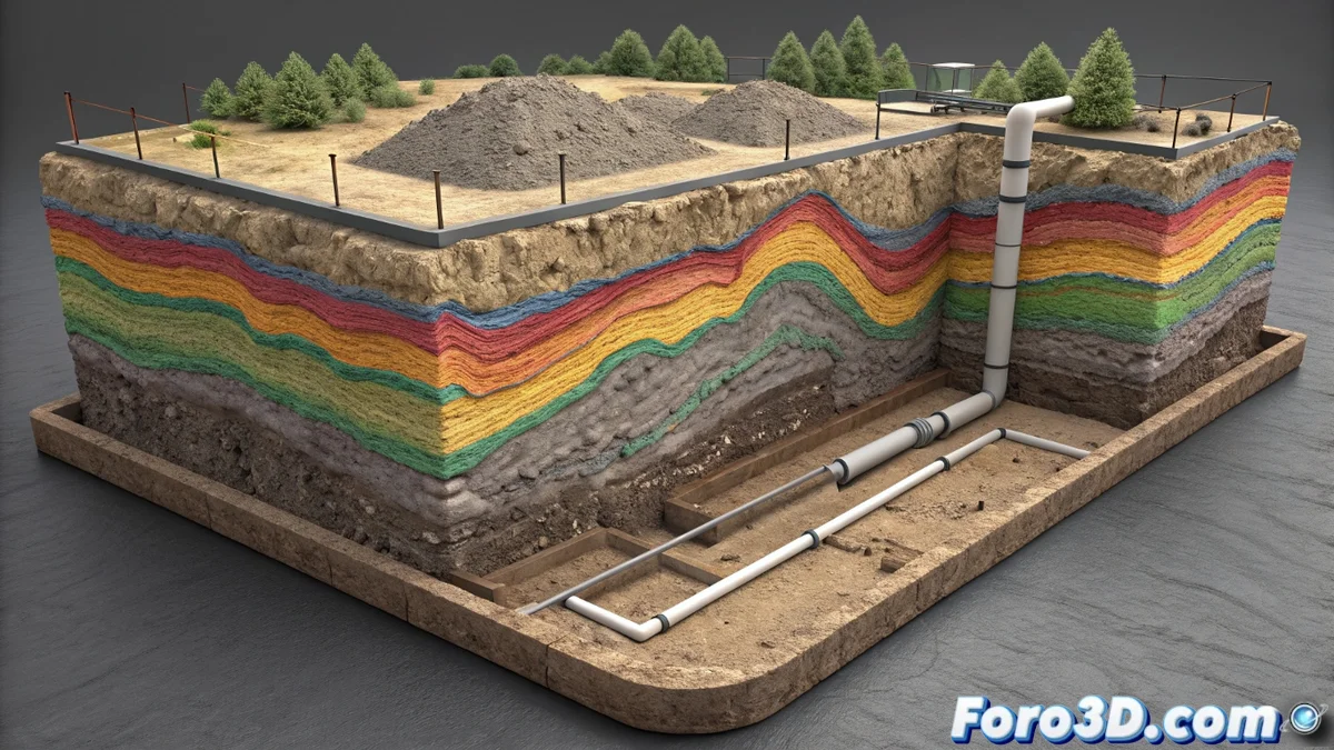
The tool primarily operates with radargrams, which are linear profiles of data recorded as the equipment moves. Gpr-slice allows aligning, stacking, and correcting these profiles to mitigate unwanted effects. Subsequently, it generates horizontal slices at user-defined depths. These planes show the distribution of radar reflections, helping to identify patterns, anomalies, and buried structures such as pipes, cavities, or ancient foundations.
Key functions in the workflow:- Align and correct multiple radargram profiles to compensate for irregularities.
- Generate horizontal slices that reveal the subsurface structure in a specific plane.
- Facilitate visual identification of patterns and buried objects through reflection maps.
Sometimes, the most complex thing is not finding an archaeological treasure, but proving that an anomaly on the screen is not a software artifact, but the tomb of a king.
Filtering data and building 3D volumetric models
The program integrates a set of utilities designed to filter noise, adjust signal gain, and apply topographic corrections to the data. Additionally, it features functions to interpolate information between different profiles and thus build a three-dimensional volumetric model of the inspected area. This 3D model can be sectioned and rotated from any angle to inspect targets with greater precision.
Advanced modeling features:- Apply filters to reduce noise and improve radar signal clarity.
- Interpolate data between profiles to create a continuous 3D volumetric representation.
- Integrate data from other sensors or GPS systems to enrich the analysis context.
Practical applications and professional value
The ability to analyze the subsurface without digging makes Gpr-slice an invaluable tool for geologists, archaeologists, and civil engineers. By converting complex data into intuitive 2D and 3D visual models, the software helps make informed decisions about the terrain, optimizing projects and reducing risks. Its power lies in transforming raw signals into actionable knowledge about what lies beneath our feet. 🧭