Global Mapper: a powerful tool for geospatial data
This desktop program specializes in managing territorial information. Its integrated environment allows manipulating a wide range of data, from aerial images to digital terrain models, without depending on multiple different applications. 🗺️
Key features of the workspace
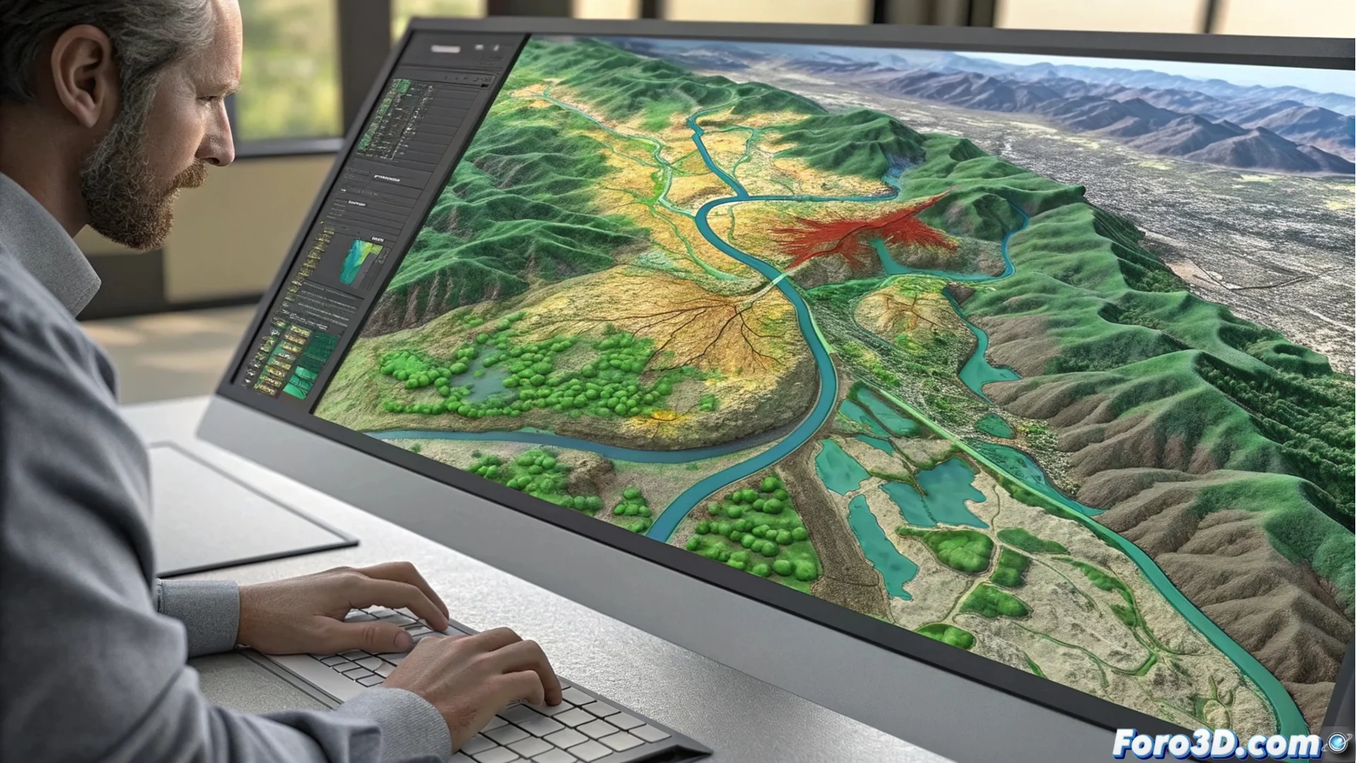
The core of the software lies in its ability to process LiDAR data and generate 3D terrain models. Users can filter point clouds, classify objects, and create precise three-dimensional surfaces. Additionally, it includes utilities for analyzing watersheds and simulating water movement.
Main operations you can perform:- Convert formats between an extensive library of GIS and elevation file types.
- Overlay layers of diverse information to create detailed cartographic compositions.
- Perform measurements of areas, distances, and volumes with high precision.
Although its name evokes global maps, its frequent use focuses on analyzing specific terrains for particular projects.
Professional fields of application
This tool is essential in fields that require interpreting the territory accurately. Its versatility makes it indispensable for integrating data from disparate sources into a single coherent project.
Sectors that use this software:- Topography and Cartography: for surveying plans and generating thematic maps.
- Environmental Management and Natural Resources: for evaluating terrains and planning developments.
- Civil Engineering and Urban Planning: for designing infrastructure and calculating earthworks.
An ally for spatial precision
Essentially, Global Mapper optimizes the workflow with geospatial information. It centralizes visualization, editing, and analysis tasks in a single platform, allowing professionals to make informed decisions based on precise and up-to-date territorial models. Its power lies in making complex spatial analysis accessible. 🏔️