When Geography Meets 3D Graphics
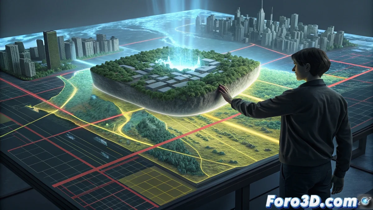
Geographic Information Systems (GIS) represent the convergence between geographic science and digital technology, enabling the capture, storage, analysis, and visualization of spatially referenced data. Unlike traditional maps, GIS not only show where things are, but also answer complex questions about spatial relationships, patterns, and trends. When this capability is integrated with 3D software, we obtain extraordinarily powerful tools to recreate and analyze our world in three dimensions.
What makes the GIS-3D integration unique is its ability to work with real-world data at a 1:1 scale. While traditional 3D modeling often relies on artistic approximations, combining it with GIS ensures topographic accuracy, real coordinates, and verified spatial relationships. This union is revolutionizing diverse industries such as urban planning, video games, architecture, and visual effects.
GIS tells us what is where, 3D shows us how it looks—together they reveal why it matters
Fundamental Components of GIS Systems
A complete GIS system consists of four interconnected elements that work together. The hardware includes everything from high-performance servers to mobile devices with GPS for field data capture. The software encompasses platforms like ArcGIS, QGIS, GRASS GIS, and specialized spatial analysis tools. The data constitute the heart of the system—vectorial, raster, attribute, and metadata information. Finally, people and procedures ensure the system is used effectively to solve real-world problems.
The magic happens in the overlay of information layers. A GIS can combine satellite images, contour lines, land uses, infrastructure, and demographic data into a single coherent visualization. This multidisciplinary integration capability is what makes GIS so valuable when exported to 3D environments.
- Hardware: from servers to mobile devices
- Software: specialized in spatial analysis
- Data: vectorial, raster, and attributes
- People and procedures: for practical application
Workflow: From GIS to 3D Software
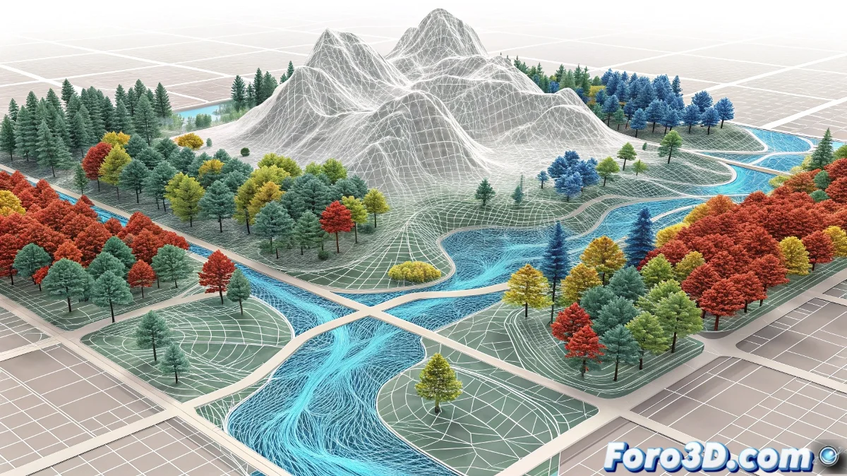
The integration process typically follows a well-defined path that transforms geographic data into usable 3D models. It begins with the selection and preparation of GIS data—digital elevation models (DEM), orthophotos, LIDAR data, and shapefiles of urban elements. These data are processed and cleaned in GIS software to correct errors, unify coordinate systems, and extract relevant information for the 3D project.
The export to compatible formats is the critical step where native GIS data is converted into 3D geometry. Formats like OBJ, FBX, Collada, and point cloud formats serve as bridges between both worlds. Georeferencing is preserved through universal coordinate systems like UTM or WGS84, ensuring the 3D model maintains its exact spatial relationship with the real world.
Exporting from GIS to 3D is like translating between languages—some nuances are lost, but the essential meaning is preserved
- Selection and preparation: of source GIS data
- Processing and cleaning: in specialized software
- Export to 3D formats: compatible ones
- Preservation of georeferencing: and coordinate systems
Applications in Blender: Artistic Precision
Blender has developed impressive capabilities for working with GIS data, particularly through add-ons like BlenderGIS and native mesh tools. Artists can directly import OpenStreetMap data, generate realistic terrains from elevation models, and place buildings in their exact locations. The integration allows working with real scales—something critical for archviz, urban planning, and visual effects projects that require geographic verisimilitude.
One of the most powerful applications is the procedural generation of urban environments based on real GIS data. Blender can use shapefiles of parcels, buildings, and streets to automatically create complete cities, with geometry that respects real dimensions and orientations. This not only saves incredible time but also ensures precision that would be impossible to achieve manually.
Integration with Houdini: Simulation and Analysis
Where Blender excels in visualization, Houdini stands out in simulation and GIS-based analysis. Houdini's procedural approach is ideal for processing large volumes of geographic data and generating physically accurate simulations. Technical artists can create systems that automatically analyze slopes, orientation, and terrain features to inform erosion, flooding, or urban growth simulations.
Houdini's ability to handle VDB data makes it particularly suitable for working with high-density LIDAR point clouds. It can convert millions of points into usable geometry, filter noise and artifacts, and generate optimized surfaces for simulation. This is invaluable for projects requiring sub-metric precision over large geographic areas.
- LIDAR point cloud processing: high density
- Physical simulations: based on real topographic data
- Automatic analysis: of terrain features
- Procedural generation: of infrastructure based on GIS data
Unreal Engine and Unity: Real Worlds in Real Time
Modern game engines have fully embraced GIS integration, enabling the creation of immersive experiences in geographically precise environments. Unreal Engine offers tools like World Composition and Landscape tools that can directly import elevation and satellite data. The Cesium for Unreal plugin takes this to the next level, allowing real-time streaming of global geospatial data with centimeter precision.
In Unity, the Mapbox SDK and geolocation tools enable the development of applications that overlay 3D data on real locations. This is driving new genres of applications in augmented reality, urban simulation, and geographic education. The ability to render large geographic extents while maintaining real-time performance opens possibilities that were science fiction just a decade ago.
Game engines have turned the entire Earth into a playable level
Practical Applications by Industry
GIS-3D integration is transforming entire industries. In architecture and urban planning, it enables visualizing projects in their real context, analyzing visual and environmental impacts, and simulating people and vehicle flows. In video games, it is creating open worlds with credible geography and simulation experiences based on real locations.
The renewable energy sector uses this integration to analyze solar and wind potential based on real topography. The film industry creates geographically precise visual effects and on-location shot previsualizations. Even education and cultural heritage benefit through precise archaeological reconstructions and historical simulations based on geographic evidence.
- Architecture and urban planning: Real context and impact analysis
- Video games: Geographically precise open worlds
- Renewable energies: Potential analysis based on topography
- Film and television: Visual effects and on-location previsualization
Future of GIS-3D Integration
The future of this integration is as exciting as it is inevitable. We are seeing the emergence of "digital twins"—exact virtual replicas of entire cities that update in real time with IoT sensor data. Convergence with artificial intelligence will enable automatic generation of 3D models from 2D images and prediction of changes in urban and natural landscapes.
Cloud computing capabilities are making it possible to process massive geographic datasets that previously required supercomputers. Spatial augmented reality promises to overlay real-time GIS information on our perception of the physical world, creating a persistent layer of information over reality.
Conclusion: An Inseparable Ecosystem
The integration between GIS and 3D software has evolved from a technical curiosity to a fundamental necessity for any project interacting with the real world. What began as separate tools for different communities has become an inseparable ecosystem where geographic precision and visual expression enhance each other.
For 3D artists and technicians, understanding GIS fundamentals is no longer optional—it is an essential skill that dramatically expands the types of projects they can tackle and the verisimilitude they can achieve. For GIS professionals, mastering 3D tools allows them to communicate their findings more effectively and explore spatial data in entirely new ways.
In the end, GIS-3D integration reminds us that the map is not the territory—but now we can make the territory as explorable as the map 🗺️