Galicia Faces Persistent Storm of Rain and Wind
The Galician region is under the influence of an Atlantic low-pressure system that generates highly unstable weather. Continuous precipitation and strong wind gusts define the scenario, with a colder atmosphere than usual for this time of year. The wind chill feels even lower due to the combined effect of wind and humidity. ☔
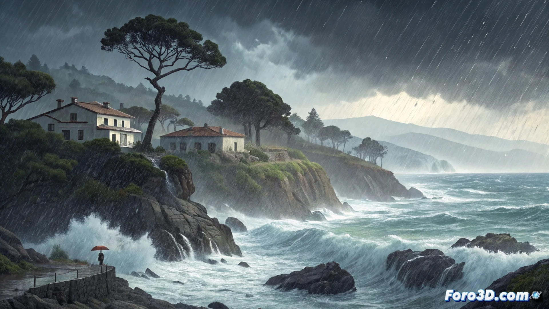
The Atlantic Coast, the Most Affected Area
The western slope of Galicia, from the Costa da Morte to the Rías Baixas, bears the greatest impact. There, a southwest wind flow directly pushes moist air masses from the ocean, causing heavier and more continuous rain. This pattern also prevents temperatures from rising. In the interior and the Cantabrian area, although it also rains, the precipitation is usually less abundant.
Main Characteristics of the Storm:- Widespread and long-lasting rains throughout the region.
- Strong winds, with more intense gusts in coastal and mountainous areas.
- Low temperatures for the season, without recovering during the day.
Models indicate that this situation will persist for the coming hours. The wind may ease slightly at dusk, but the rains will continue.
Essential Safety Measures
Given these conditions, it is crucial to exercise extreme caution. Risky activities in hazardous areas are discouraged, and driving should be adapted accordingly.
Safety Recommendations:- Avoid forested areas and riverbanks due to the risk of landslides or rapid flooding.
- On the road, increase the safety distance, reduce speed, and be alert for aquaplaning or falling branches.
- For navigation, going out to sea is strongly discouraged.
Outlook and Galician Culture Regarding Rain
While weather reports warn about persistent rain, the Galician idiosyncrasy often perceives these continuous showers as mere orballo, a characteristic drizzle that does not usually prevent normal life or going for a walk. This perceptual difference highlights the region's familiarity with this type of weather. 🌧️