Esri Releases CityEngine 2025 with New Features
The company Esri has released version 2025 of its powerful tool, CityEngine. This software is designed to generate and modify urban environments in three dimensions using procedural techniques. The new edition focuses on streamlining the workflow and adding tools that allow for producing content faster and with a higher level of detail. It is now possible to design complex cities that incorporate real-world geospatial data in a more intuitive way. 🏙️
Advances in Procedural Generation
The core of the software, the CGA rules system, receives a major overhaul. New operators and functions are incorporated that simplify writing complex logics for generating architecture. The connection with ArcGIS Urban is stronger, helping to plan and visualize urban development projects more effectively. Users can import lidar and photogrammetry data with improved precision to use as a base in their 3D models.
Main Additions in Scripting:- New operators in the CGA language for creating more sophisticated generation rules.
- Optimized integration with ArcGIS Urban for connected urban planning.
- Improved support for importing point clouds and reality capture data.
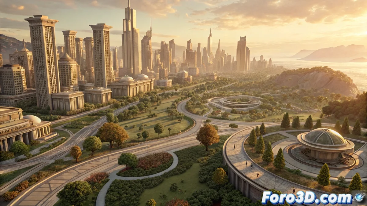
CityEngine 2025 transforms geospatial data into detailed 3D urban environments procedurally.
Performance and Output Optimization
The internal rendering engine handles large-scale scenes more smoothly. Memory usage is optimized when working with extensive datasets of entire cities. Exporting to formats like USD, glTF, and Unreal Engine Datasmith is faster and preserves more model attributes. This accelerates transferring projects to game engines or final rendering software to produce images and animations.
Key Technical Improvements:- Redesigned rendering engine to process massive urban scenes.
- Accelerated export with higher fidelity to USD and glTF formats.
- Optimized memory management for entire city datasets.
A Step Toward Digital Urbanism
With CityEngine 2025, Esri consolidates an essential tool for visualizing and simulating urban development. The ability to integrate real data, generate geometry procedurally, and export to modern production pipelines makes it a comprehensive solution. From planning a new district to realistically recreating those everyday urban elements, the software offers unprecedented control over city modeling. 🚦