Digital Archaeology: Reconstructing Battles with 3D Software
Modern archaeology is no longer limited to brushes and field notebooks. Now, surveying tools and 3D modeling software allow documenting and analyzing sites with millimeter precision, revealing hidden details of historical events. 🔍
Documenting the Battlefield with Precision
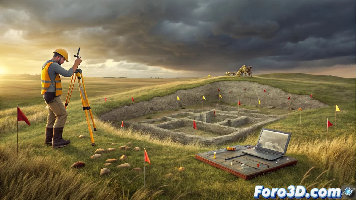
The first step is to capture exact spatial data. Researchers use a total station to measure the three-dimensional position of each artifact, such as projectiles, arrowheads, or bone remains. This set of 3D coordinates forms the essential spatial database for all subsequent analysis.
Key Tools in This Phase:- Total Station: Surveying instrument that records angles and distances to obtain precise coordinates.
- Geospatial Database: Structured set that stores the location and attributes of each find.
- Georeferencing: Process of assigning real-world coordinates to found objects.
Precision in data capture determines the reliability of the entire subsequent reconstructive model.
Processing Data to Generate an Analytical Model
The collected coordinates are imported into specialized programs. In Agisoft Metashape, georeferenced point clouds are generated that digitally represent the terrain's topography. Then, in QGIS, the spatial distribution of the findings is studied. This analysis can reveal patterns such as artifact clusters indicating front lines or areas of intense combat.
Workflow with Software:- Agisoft Metashape: Creates the geometric base of the site from measurement data.
- QGIS: Analyzes dispersion patterns and density of archaeological finds.
- Georeferenced 3D Model: Result that serves as a digital canvas for historical hypotheses.
Visualizing and Understanding the Historical Event
The final phase integrates everything into a visualization environment. In Blender, the 3D terrain model is combined with the exact location of each projectile. This allows archaeologists to propose and test hypotheses about trajectories, attack angles, and tactical movements. The visualization helps understand how the battle unfolded, identifying key conflict points. Thus, a medieval archer who missed his shot is 'betrayed' centuries later, as his arrow is shown embedded far from any remains. 🏹