Cesium vs BlenderGIS: Contrasting Approaches in Geospatial Visualization
The geospatial visualization ecosystem presents two fundamental approaches: Cesium for real-time planetary coverage and Blender with BlenderGIS for creating detailed environments. These tools represent opposing philosophies in handling geographic information 🗺️.
Architecture and Core Capabilities
Cesium is designed as a web platform for massive data visualization, optimized for efficient streaming of complete globes and extensive cities. Its architecture prioritizes interactive performance with dynamic updates. BlenderGIS, as a Blender add-on, specializes in high-fidelity 3D scenes using GIS information, albeit with inherent limitations for planetary-scale datasets.
Key Application Differences:- Cesium: Ideal for simulations, global monitoring, and live data visualization requiring immediate interactivity
- BlenderGIS: Excels in cinematic productions, architectural visualizations, and projects where visual realism is a priority
- Limitations: BlenderGIS faces challenges with extremely large datasets without specific optimizations
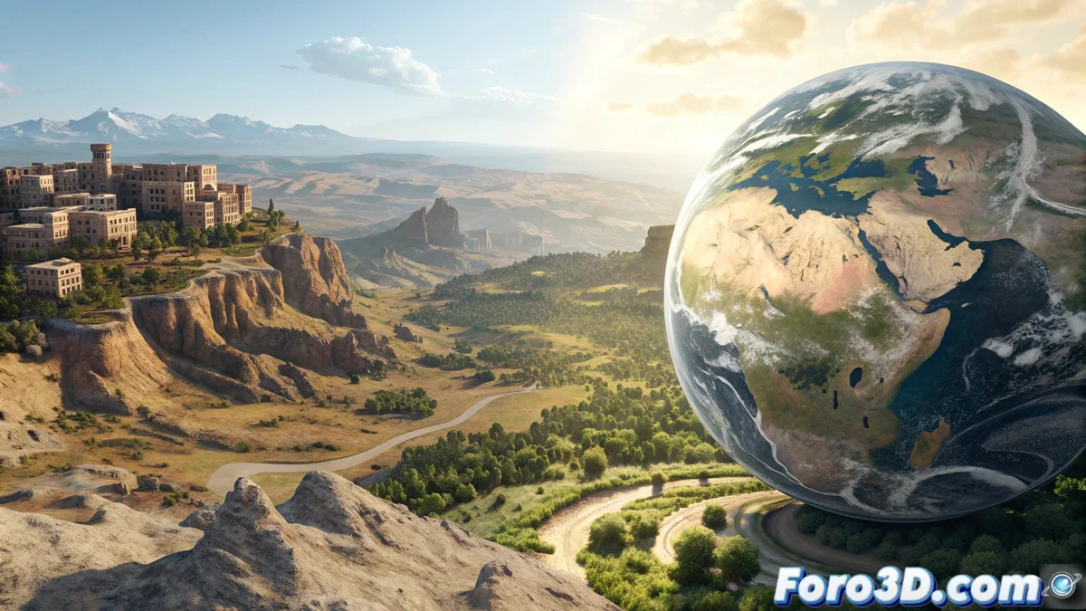
While Cesium flies over continents with drone-like agility, Blender sculpts mountains like works of art: in the geospatial universe, speed and detail rarely converge
Data Integration and Workflow Methodologies
The integration of geospatial information presents divergent approaches. Cesium offers native compatibility with standard formats, allowing immediate overlay of layers such as satellite imagery, 3D models, and vector data. BlenderGIS provides GIS import tools for Blender, though with more manual and less automated processes.
Workflow Characteristics:- Cesium: Unified environment with efficient loading of multiple geospatial data sources
- BlenderGIS: Enables creation of realistic scenes based on geographic data through artisanal processes
- Automation: Cesium offers more fluid native solutions compared to BlenderGIS's more manual approach
Selection Based on Project Objectives
The choice between these tools depends entirely on project requirements. Cesium dominates in applications demanding massive scalability and real-time response, while BlenderGIS shines where visual detail and artistic quality are paramount. Understanding these fundamental differences allows for selecting the appropriate technology for each geospatial visualization challenge 🌍.