Cesium vs ArcGIS Pro 3D: Limitations and Strengths in Geospatial Visualization
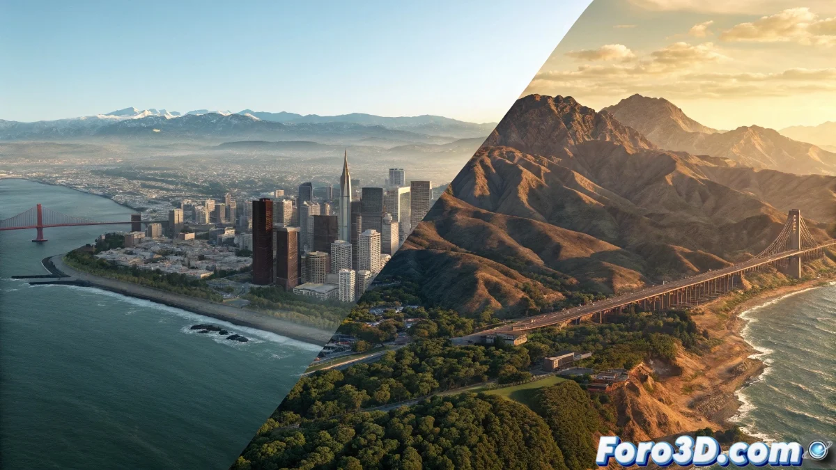
The Cesium platform has positioned itself as a free solution specialized in the interactive visualization of three-dimensional geospatial information, allowing the loading of terrains, architectural structures, point clouds, and three-dimensional models from multiple sources such as photogrammetry or geographic information systems. However, its main focus lies in visual representation rather than content generation, as it does not incorporate native utilities for advanced geometric creation 🗺️.
Restrictions in Creation and Modification Tools
When contrasting it with professional suites like ArcGIS Pro 3D, Cesium's limitations become evident. While Cesium focuses on the visualization and basic adjustment of existing geospatial data, ArcGIS Pro 3D provides complete tools for parametric editing, professional surface sculpting, and generation of complex buildings. This distinction is fundamental for initiatives that require detailed modifications or creation of new geometry, since Cesium depends exclusively on external sources for these components.
Key Differences in Editing Capabilities:- Parametric Editing: ArcGIS Pro 3D includes tools to modify geometry with adjustable parameters, while Cesium only allows basic transformations
- Terrain Generation: The ESRI platform offers professional surface sculpting, compared to simple elevation visualization in Cesium
- Building Creation: ArcGIS allows developing complex structures from scratch, a capability absent in the free solution
For projects requiring integrated editing and analysis capabilities, Cesium shows significant limitations compared to specialized professional solutions.
Analytical Capabilities and Integration in Professional Environments
The divergence is accentuated in the realm of advanced geospatial analysis and integration into professional workflows. Platforms like ArcGIS Pro 3D integrate specialized modules for urban simulations, volumetric analysis, and native manipulation of large datasets. Cesium, although powerful for visualization, requires integration with other tools to execute these types of complex analyses, which can restrict its efficiency in engineering or urban planning projects where integrated capabilities for editing and analysis are required.
Advantages of ArcGIS Pro 3D in Professional Analysis:- Urban Simulations: Specialized modules for urban planning and development integrated directly
- Volumetric Analysis: Native capabilities for volume and three-dimensional space calculations
- Large Dataset Management: Efficient manipulation of extensive geospatial datasets
Final Evaluation as a Professional Tool
For those who expected to find in Cesium a complete replacement for expensive GIS suites, the reality indicates that it remains primarily as a spectacular viewer with restricted creation capabilities, ideal for visual presentations but not for professional geometric development. The platform provides impressive visualization but critically depends on external sources for complex content, while solutions like ArcGIS Pro 3D offer an integrated ecosystem for the entire geospatial workflow 🌍.