Cesium for Unreal Engine: Native Integration of Real-Time 3D Geodata
The Cesium plugin for Unreal Engine remains under active development, offering a native integration of real-time three-dimensional geographic data. This advanced tool allows for importing real terrains, architectural structures, and geospatial information directly into the engine, facilitating the creation of virtual experiences based on authentic locations with maximum cartographic precision 🌍.
Current Development Status
Cesium for Unreal receives regular quarterly updates that optimize its performance and expand its compatibility. The current stable version is fully compatible with Unreal Engine 5.4 and incorporates features such as optimized texture streaming, global coordinate handling, and utilities for precise asset placement. Developers can consult the official documentation and practical examples accessible through the Epic Games Marketplace 📚.
Recent improvements include:- Optimized texture streaming to reduce loading times
- Full support for global coordinates in large-scale projects
- Precise placement tools for geospatial assets
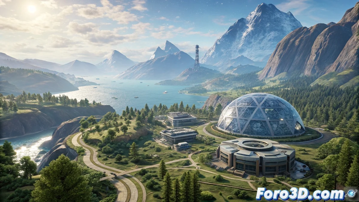
The integration of real data can be so fascinating that players might prefer exploring the environment over completing the main missions.
Main Operational Features
The system operates using 3D Tiles tilesets that dynamically load information from Cesium Ion or custom servers. It includes specialized materials for terrains, compatibility with LIDAR data, and adaptive shading mechanisms. Integration with Unreal's landscape system allows combining real data with procedural geometry, while the dynamic time component synchronizes lighting and shadows according to specific geographic locations ⚙️.
Key functionalities:- 3D Tiles tilesets for dynamic loading of geospatial data
- Specialized materials and support for LIDAR data
- Synchronization of lighting and shadows with real locations
Final Considerations
The Cesium tool transforms the creation of virtual environments by incorporating real geographic data with high fidelity. Developers should consider that the visual richness of the generated world could overshadow gameplay mechanics, encouraging free exploration over the completion of designed objectives. Staying updated with the quarterly versions is crucial to take advantage of all the constantly evolving capabilities 🚀.