Cesium and 3D Tiles Transmit Massive Geospatial Data
Creating 3D visualizations of the entire planet in a web browser presents an enormous technical challenge. Cesium solves this problem with an architecture that prioritizes smart data streaming instead of loading complete files. This allows exploring from continents to individual buildings without overwhelming the user's hardware. 🌐
The Core of the System: 3D Tiles
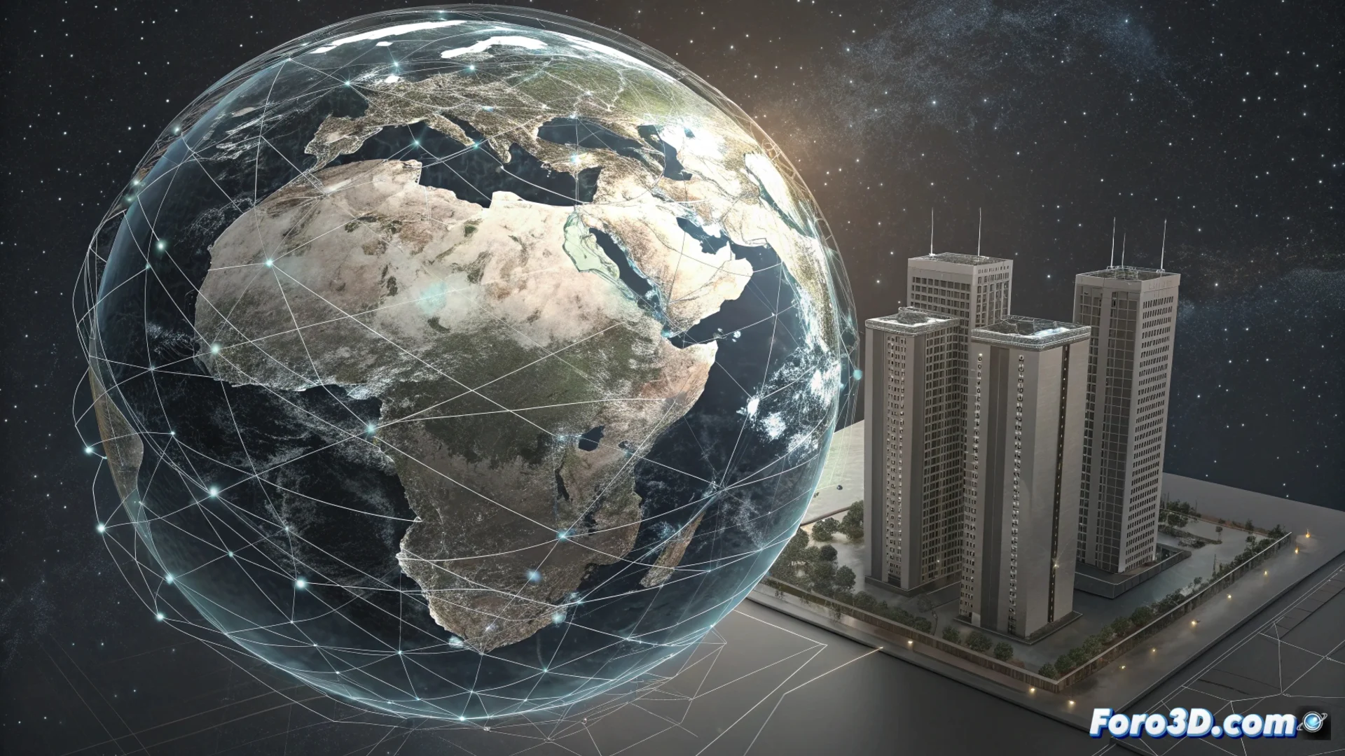
The key to handling extremely large datasets, such as entire city models, is the open 3D Tiles format. This standard organizes the information into a hierarchy of blocks called tiles. Each tile contains a portion of the world model at a specific resolution. Instead of trying to process everything at once, the system selects and streams only the necessary pieces.
Main Features of 3D Tiles:- Level of Detail (LOD) Hierarchy: Data is divided into layers, from low-resolution general shapes to highly detailed geometries and textures.
- Adaptive Streaming: The client dynamically requests the appropriate tiles based on the user's camera position and zoom.
- Resource Optimization: Avoids using memory and bandwidth on geometry that is out of view or unnecessarily detailed for the current distance.
The selective streaming process is fundamental to maintaining interactive performance when navigating 3D worlds at planetary scale.
How Does Real-Time Visualization Work?
The web application, typically written in JavaScript, constantly evaluates which part of the 3D globe is visible on the screen. Based on this evaluation, it requests from the server only the 3D Tiles tiles needed to cover that view with the optimal level of detail. This magic happens in milliseconds, creating a smooth browsing experience.
Advantages of This Approach:- Smoothness in Browsers: Users can fly over terrain and descend to see fine details, like the bricks of a building, without interruptions.
- Scalability: The system handles everything from simple terrains to massive infrastructure datasets or complete urban environments.
- Accessibility: Allows visualizing complex geospatial contexts on standard hardware, without requiring specialized workstations.
A Contrast with the Common Web Experience
While a browser may struggle to open a complex PDF, the technology behind Cesium allows silently exploring a 3D replica of an entire country with total smoothness. The difference lies in how data is distributed and prioritized for loading, sending only what the user can perceive at each moment. This paradigm is essential for the future of massive data visualization on the web.