Biofouling Analysis Traces the Route of a Narco Submarine
When law enforcement intercepts a smuggling semisubmersible, a silent witness can reveal its journey. This witness does not speak, but grows attached to the hull: a community of barnacles, algae, and other organisms. This biofilm forms a natural record that, when analyzed with 3D technology and forensic methods, allows reconstructing the waters the vessel has navigated. 🔍
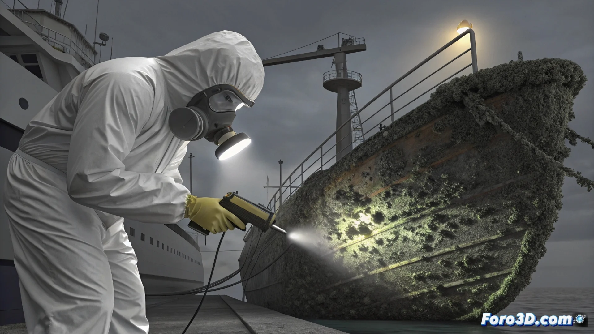
Digitalizing the Ecosystem Attached to the Hull
The process begins by documenting the biofouling objectively. A handheld 3D scanner, such as the Artec Leo, is used to capture the complex geometry, relief, and color of all organisms. This device generates a high-fidelity three-dimensional model that serves as the main spatial database.
Processing the 3D Model to Extract Data:- The model is processed in software like Agisoft Metashape to refine the mesh and texture.
- Researchers measure the size of barnacles, calculate algae density, and map how species are distributed along the hull.
- This growth pattern is key, as it directly depends on the time the hull was submerged and the specific water characteristics in each area.
Nature not only embraces the hull but also keeps a detailed travel diary, written in a language that only 3D technology and forensic analysis can decipher.
Interpreting the Biological Footprint with Specialized Software
With the 3D model as reference, the analysis advances toward geospatial interpretation. Data from species identified on the hull is cross-referenced with global oceanographic information layers.
Workflow with Analysis Tools:- In QGIS, biological findings are overlaid with water temperature, salinity, and predominant marine current data.
- This overlay allows narrowing down the geographic regions where the found biological community could have developed.
- Using environments like MATLAB, growth and density patterns are processed to estimate how long the transit could have lasted under different environmental conditions.
Reconstructing the Route and Key Points
The ultimate goal is to determine the recent route of the vehicle and identify its possible points of origin or stopover. By correlating all data, analysts can infer a probable trajectory. The technique is capable of identifying areas where the submarine remained long enough for certain species to establish themselves, thus marking significant stops in its journey. This application of 3D technology and environmental forensic analysis turns a simple marine encrustation into a powerful investigative tool. 🗺️