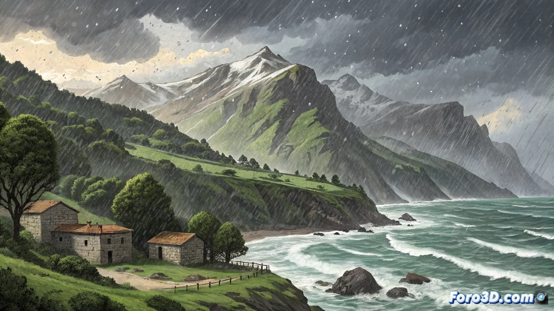
Asturias and Cantabria Face Unstable Weather with Rain and Snow
An active front is affecting the northern peninsula, where Asturias and Cantabria are experiencing a sudden change in atmospheric conditions. The instability is manifesting with heavy precipitation and a significant drop in temperatures, transforming the landscape in a matter of hours. 🌧️❄️
Widespread Rain and Snow at Unusual Altitudes
Rain is falling persistently throughout the region, with greater intensity in the western and mountainous areas. The most notable phenomenon is the rapid drop in the snow level, which is now at very low altitudes, covering areas that normally do not see snow at this time. This has a direct impact on mobility.
Main Consequences on Infrastructure:- Mountain passes may be closed or require chains to pass.
- Numerous interior roads, especially in valleys, present a risk of ice patches.
- Snow accumulation at low altitudes is an uncommon event that surprises residents.
Nature decides to show its coolest and wettest side, advising to postpone outdoor activities.
Strong Winds Aggravating the Situation
Another factor defining this episode is the southwest wind. It blows strongly, generating gusts that can exceed 70 km/h, especially on the coast and in the most exposed areas of the mountain range. This wind not only increases the feeling of cold but also stirs up the sea.
Safety Recommendations:- Exercise extreme caution when driving, especially in high vehicles or on elevated sections.
- Be alert for possible landslides on slopes due to saturated ground.
- Avoid walks along the coast or very exposed areas during the strongest gusts.
Outlook for the Next Hours
Weather models indicate that this unstable pattern will persist for the next 24 to 36 hours. Rain is expected to continue, although it may alternate with brief intervals of lesser intensity. The snow level will oscillate between 400 and 700 meters, so it is likely to continue snowing in passes and valleys. The wind, meanwhile, will tend to shift to the northwest but without losing intensity for now. If you were planning an excursion to the Picos de Europa or the beach, it's better to reconsider plans and opt for the raincoat. 🧥