ArcGIS Brings the City to Your Computer (Potholes Included)
Tired of modeling entire city blocks building by building? 🏙️ ArcGIS has just launched its City Download Portal, an open-source tool that allows you to download complete 3D models of real urban environments, ready to use in your projects. And yes, they include even those details that nobody models but everyone notices (like the crooked streetlights).
"Before, you spent weeks modeling a neighborhood. Now you download it in minutes... and it even comes with the municipality's poorly pruned trees."
Express Urbanism for Professionals
This platform is a dream come true for:
- Architects who need real context for their projects
- Urban planners who require precise geographic data
- 3D artists working on realistic urban environments
- Developers of immersive experiences 🕶️
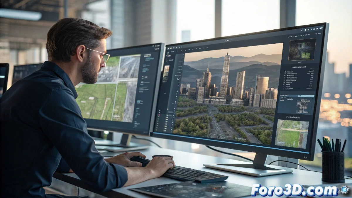
The models include everything from architectural geometry to terrain contour lines, all exportable in glTF, OBJ, or FBX for seamless integration into Blender, Unreal Engine, or Rhino.
From GIS Data to Professional Renders in One Click
The revolutionary part isn't just the download, but the integration:
- Compatible with ArcGIS Pro for advanced geographic analysis
- Textures and geometry optimized for rendering
- Ability to customize and expand the data
Now you can create visual impact studies with millimeter precision or design VR experiences with the real city as the backdrop. Of course, the tool doesn't solve the eternal problem of finding parking in these 3D models... some realities are too real. 🚗
So now you know: when your client asks for "the exact environment" for their project, you can now give it to them... complete with the corner churro stand. If it doesn't look good in the render? Well, that's your problem now. 😉