An active winter front modifies the weather in the Iberian Peninsula
A frontal system of polar origin crosses the peninsular territory, significantly altering atmospheric conditions. This phenomenon transports a mass of notably colder air that first impacts the interior regions of the center and north of the country. The situation heralds a transition to a more winter-like climate pattern, with several associated effects. ⛄
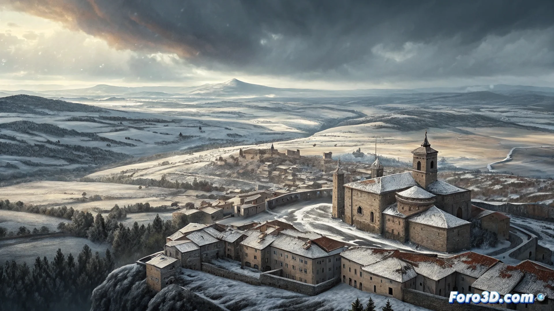
Temperature change and winter precipitation
The cold air driving the front causes a widespread drop in temperatures. In communities like Madrid and Castilla y León, values fall several degrees compared to previous days. This cooling enables recurrent precipitation to take the form of snow at mid-altitudes. This is not limited to the highest peaks; populations at intermediate elevations have a probability of seeing snowfalls. In lower altitude areas, rain will be the dominant phenomenon.
Immediate effects of the front:- Sharp drop in maximum and minimum temperatures in the interior.
- Persistent precipitation, with a snow level that drops noticeably.
- Cold and humid environment that deviates from what is usual for the season.
While some reach for the duvet, others dust off their snowboard with a hope that the capricious weather does not always fulfill.
Post-frontal consequences: intense cold and frosts
After the front passes, a post-frontal situation sets in that accentuates the feeling of cold. Nights become especially frosty, with widespread frosts across wide areas of the peninsular interior. These conditions pose a risk to crops and require extreme caution on the road network due to possible ice formation.
Characteristics of the post-frontal environment:- Clear nights that favor marked radiative cooling and frosts.
- Days with cloudy intervals and temperatures that do not recover much.
- Persistence of the winter character for several days, consolidating this phase.
Outlook and recommendations
The weather scenario points to maintaining a cold and stable environment in the coming days. It is crucial to stay alert to warnings for frosts and snowfalls, which can affect mobility and outdoor activities. It is recommended to protect sensitive agricultural installations and check vehicle conditions for safe driving. This irruption of polar air marks the beginning of a more wintery stage. ❄️