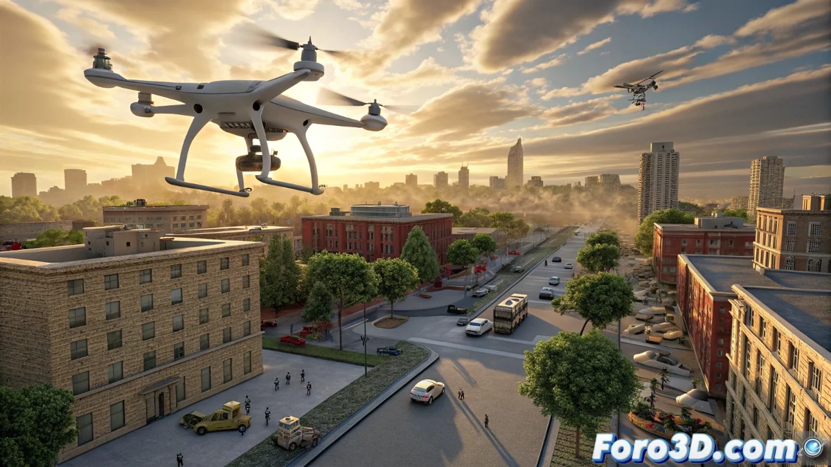
AirSim360: Aerial Simulator with 360-Degree Panoramic Data
The computer graphics and development community receives an innovative tool: AirSim360. This simulation platform specializes in producing complete 360-degree panoramic data from aerial angles, using virtual drones. Its main purpose is to transform how environments are perceived and analyzed in an omnidirectional manner, an area that has historically been limited by the scarcity of diverse and extensive datasets. 🚁
The three fundamental pillars of the system
The power of AirSim360 rests on three essential components that work together. First, it integrates a method for rendering and labeling that ensures perfect pixel-level alignment between geometric, semantic, and instance information. Second, it incorporates an interactive system that realistically models human behavior, adding dynamism to the scenes. Finally, it features an automatic trajectory generator, designed to simplify and speed up complex autonomous navigation tasks within the simulated environment.
Main features of the dataset:- Stores over 60,000 unique and detailed panoramic samples.
- Presented as the first simulator that systematically models the real world in 4D (3D space + time) with a completely omnidirectional format.
- Provides absolute coherence between what is visualized and the associated labels, which is crucial for training algorithms.
AirSim360 enables simulating complete 360-degree scenes with exceptional photometric and geometric fidelity.
Impact on graphics engines and software development
For popular engines like Unreal Engine or Unity, this platform brings tangible improvements. It allows creating immersive scenarios with high precision, useful for calculating global illumination, capturing light volumes, or designing enveloping experiences. Data coherence helps refine physics subsystems, collision detection, or crowd simulation. Additionally, the tool for creating automatic routes facilitates planning movements for virtual cameras or drones within these digital worlds.
Practical applications and benefited sectors:- Architectural visualization: Create realistic virtual tours of projects.
- Visual effects and virtual reality: Generate coherent backgrounds and environments for productions.
- Urban simulation and open-world video games: Populate virtual cities with believable behaviors.
A big data-based workflow
The platform offers a robust workflow that leverages big data, benefiting both technical artists and developers. It is particularly relevant for projects that require extensive, realistic environments with believable human interactions. The researchers behind the project have confirmed that they will publicly release the tools, plugins, and associated datasets, promoting open research and development. This initiative not only helps train AI systems but also allows virtual drones to explore visually impeccable environments, even if they sometimes get "distracted" by the views. 🌐