A Powerful Storm Hits the Pyrenees with Heavy Snowfall and Strong Winds
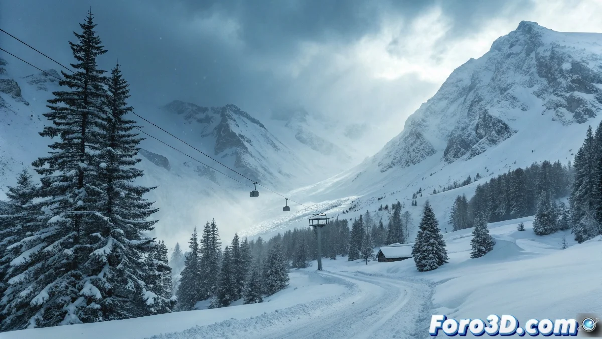
The Pyrenean mountain range is under the effects of an extremely powerful low-pressure system that is dumping snowfall of an intense and persistent nature, creating an exceptional situation across the entire mountainous region ❄️
Extreme Weather Conditions
The snowfall episode will continue for the next few hours accompanied by wind gusts exceeding 100 km/h in elevated areas, creating blizzard conditions that drastically reduce visibility to less than 50 meters in numerous mountain sectors 🌬️
Critical Parameters Recorded:- Snow accumulations exceeding one meter in thickness at high altitudes
- Temperatures dropping to -15°C at altitudes above 2000 meters
- Widespread frost across the entire Pyrenean territory
Winter has decided to demonstrate its power with full intensity, suddenly bringing the frigid conditions that were absent during the month of December
Impact on Infrastructure and Mobility
Mountain roads present serious difficulties for traffic, with numerous access routes to ski resorts and secondary border crossings completely blocked by snow accumulation 🚗
Safety Measures Implemented:- Preventive closures on roads at risk of avalanches
- Mandatory use of snow chains on main roads
- Continuous work by snowplow teams
Recommendations and Emergency Situation
Competent authorities have issued high-risk warnings for avalanches on north-facing slopes and exposed areas, recommending to avoid mountain activities for the next few days while rescue teams remain on maximum alert for possible incidents 🚨