A polar front intensifies winter with snow in northern Iberia
A polar air front advances over the peninsula, transforming the weather and bringing back a more marked winter character than in recent days. This abrupt change generates precipitation that manifests as snow in the mountainous areas of the north, while in the lowlands it mainly falls as rain. The cold intensifies and is expected to dominate the coming days. ❄️
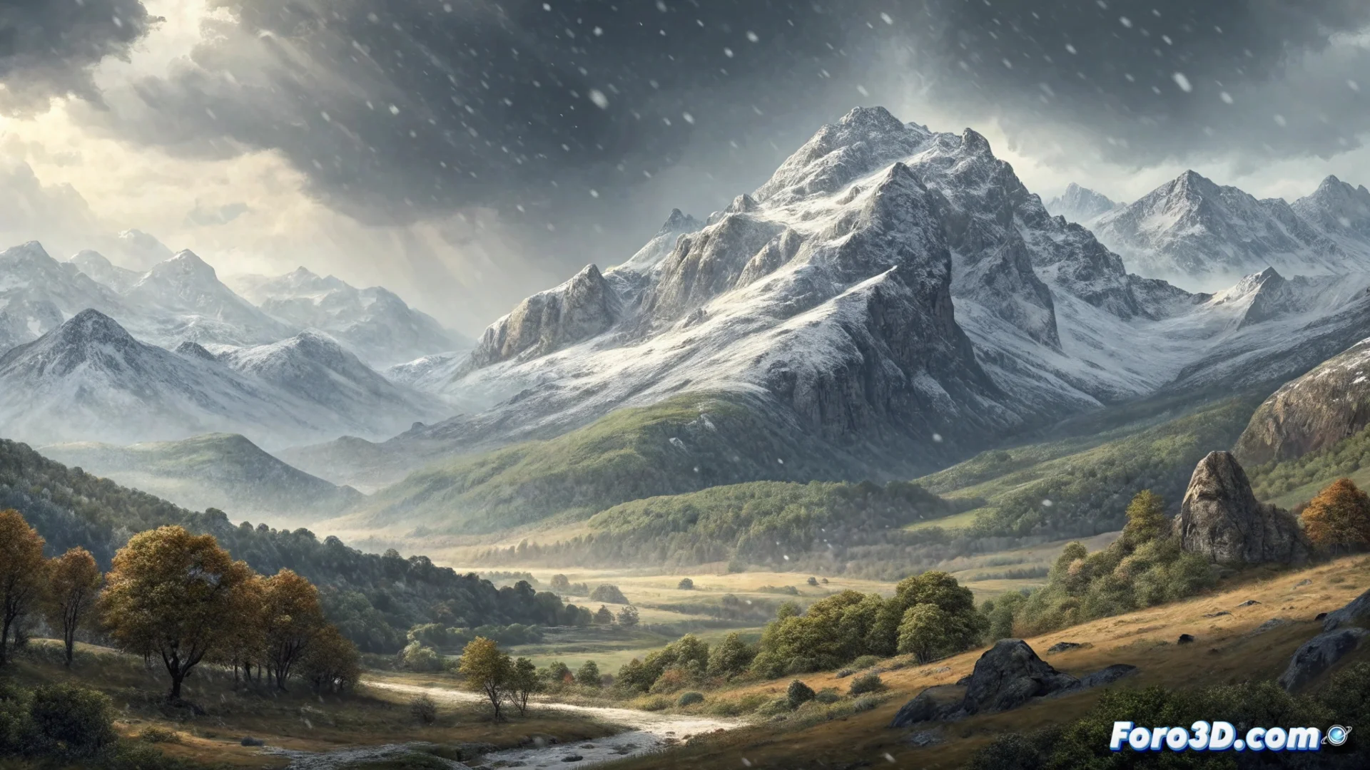
Snow accumulates on the peaks
Precipitation is more abundant and frequent at high altitudes, where temperatures allow snow to deposit and accumulate. This phenomenon directly affects mountain passes and ski resorts, which see their snow cover improve. On the slopes and valleys, rain is the protagonist, although the chilly atmosphere is felt everywhere.
Impact on mountainous areas:- Snow accumulates significantly on the summits of the Cantabrian Mountains and the Pyrenees.
- Mountain passes experience complicated conditions due to snowfall.
- Ski resorts see their white mantle reinforced, improving conditions for practicing this sport.
Those hoping for an early spring may need to dig out their thickest coat again, because winter has decided to extend its visit with special intensity in the north.
Polar cold dominates the situation
The mass of polar origin air directs the weather situation, causing a widespread drop in thermometers. This event not only brings precipitation, but also stabilizes cold weather once the clouds pass. Prediction models indicate that these conditions will persist, at least in the medium term.
Characteristics of the cold episode:- The polar air causes a marked drop in temperatures across the region.
- A cold and stable weather pattern is generated after the passage of cloudy disturbances.
- The persistence of the cold is one of the main features of this atmospheric situation.
Medium-term outlook
The forecast points to the polar cold persisting for the coming days, consolidating a winter scenario. This episode underscores the volatility of the weather at the end of winter and reminds us of the power of Arctic air masses. Affected areas should prepare for a sustained period of low temperatures and precipitation, especially in the form of snow at altitude. 🌨️