A Drone with LiDAR and Multispectral Camera Quantifies Agricultural Damage
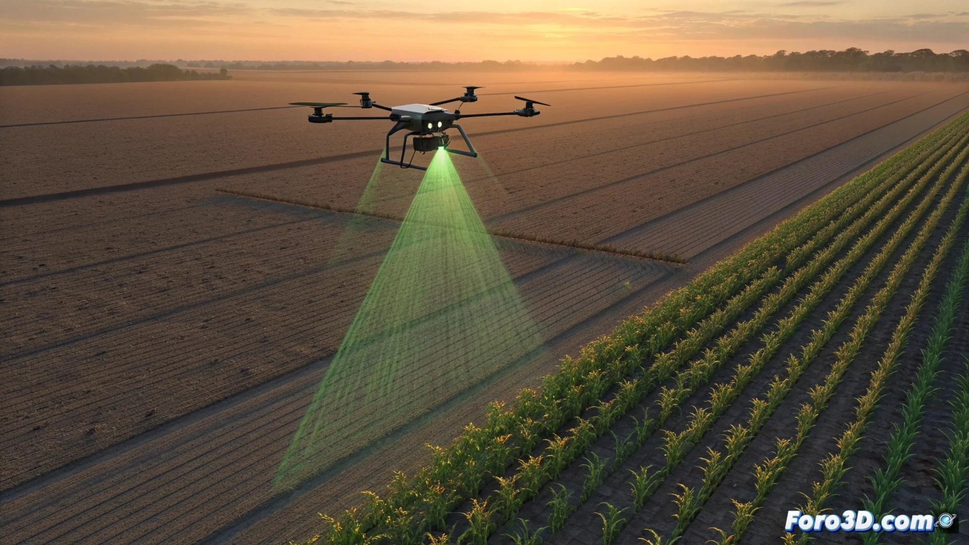
Precision agriculture takes a leap forward by using drones equipped with advanced technology. These systems combine a LiDAR sensor and a multispectral camera to fly over fields and collect comprehensive data. The main objective is to accurately map damage caused by pests, transforming subjective perceptions into objective and actionable metrics 🚁.
Capturing and Processing Data for an Accurate 3D Model
The drone's flight generates two key datasets: a 3D point cloud of the terrain and vegetation, and multispectral images that capture information beyond the visible spectrum. To convert this data into a useful model, the information must be processed with specialized software.
Workflow for Generating the Digital Model:- Photogrammetry and Alignment: Programs like Agisoft Metashape or DroneDeploy align overlapping photographs and calculate the precise position of each point in space.
- 3D Reconstruction: The software reconstructs the scene, generating a dense, georeferenced point cloud or a textured mesh that faithfully represents each plant and the field's topography.
- Geometric Base: This detailed 3D model serves as the precise and reliable geometric base for all subsequent quantitative analyses.
The accuracy of the 3D model is fundamental; it is the digital map on which the plague's ravages are measured.
Analyzing Plant Health and Calculating Lost Biomass
The true value emerges when combining 3D geometry with spectral data. Over the model, indices derived from the multispectral camera are overlaid and analyzed using tools like ENVI.
Integrated Data Analysis:- Vegetation Indices: Calculation of indices like NDVI (Normalized Difference Vegetation Index), which reveals stress levels in plants and damaged leaf area imperceptible to the human eye.
- Volumetric Measurement: The LiDAR model provides vegetation height and volume data. By comparing these measurements with reference values from a healthy crop, the reduction in biomass can be estimated.
- Objective Loss Calculation: Integrating both datasets allows obtaining an exact percentage of crop lost, for example, 47.3%, instead of a vague estimate like "half".
From Perception to Quantified Precision
This methodology transforms agricultural risk management. A farmer no longer needs to debate whether an event was a ravenous attack or a light pecking. Instead, they can present a technical report with exact figures derived from the 3D model and spectral analysis. This streamlines and objectifies processes like insurance appraisals, replacing visual inspection with quantifiable and repeatable data. The technology turns observation into measurement 🔍.