A 3D Forensic Pipeline for Documenting Landslides
In destructive geological events, applying a methodical 3D workflow allows recording the scene with extreme accuracy. This procedure does not replace rescue operations but supports them to recreate what happened and aid subsequent investigations. Data from the environment and remains are obtained to build a reliable digital model that serves as expert evidence. 🗺️
Capturing and Processing the Disaster Scene
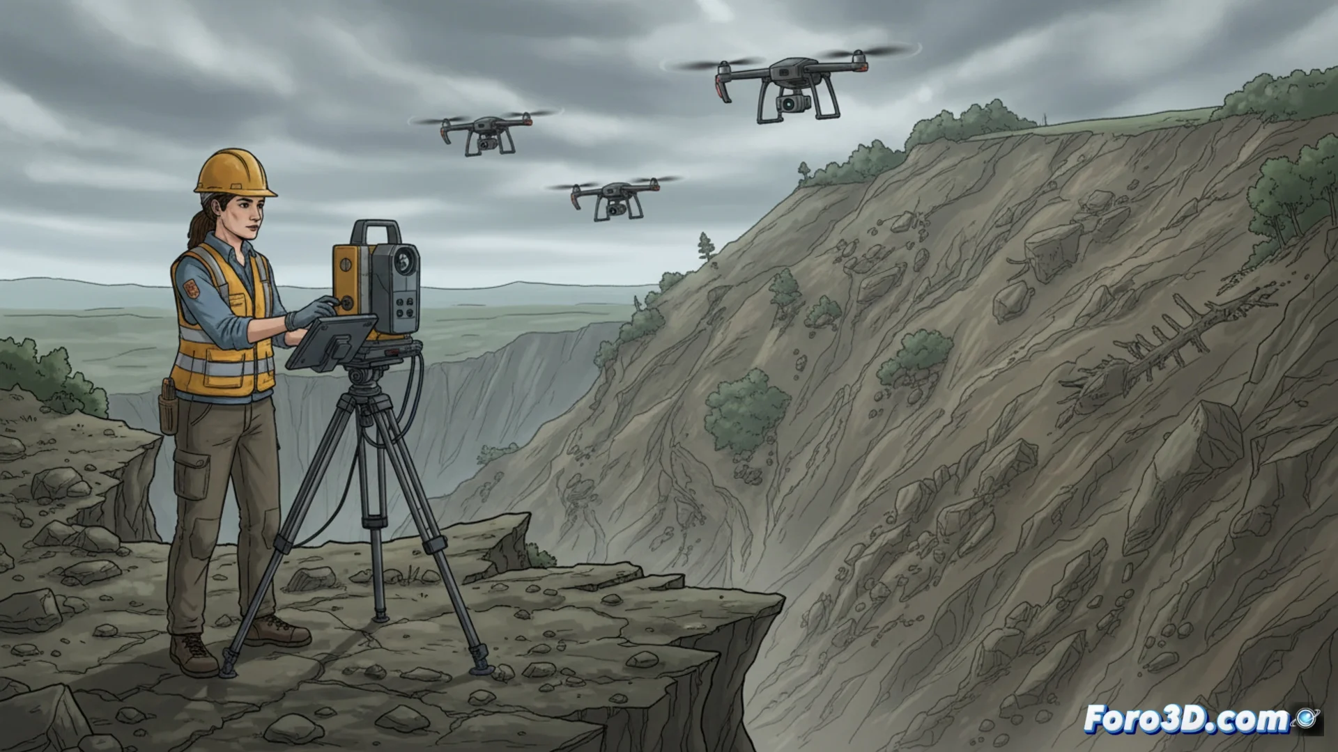
The initial stage consists of recording the area using tools such as terrestrial laser scanners (LIDAR), drone photogrammetry, and 360-degree cameras. These devices collect countless measurement points and detailed images from various perspectives. Subsequently, specialized applications merge this data to produce a dense and georeferenced point cloud. This cloud is the foundation for generating a polygonal mesh with textures that replicates the modified topography and the location of critical elements.
Key Equipment and Techniques:- Terrestrial LIDAR: Records the geometry of the terrain and objects with laser.
- Drones with Cameras: Capture aerial photographs for 3D reconstruction.
- Spherical Photography: Provides complete coverage of the environment from fixed points.
To recreate a chaotic event, meticulous precision is needed where every virtual particle occupies its digital place.
Examining and Using the Model in the Investigation
Once the 3D model is completed, experts can perform volumetric calculations to estimate the amount of mobilized material, outline possible routes of mud flows, and pinpoint the exact site where victims or evidence were located. The model enables immersive virtual walkthroughs, remote distance measurements, and creation of soil cross-sections. This objective documentation is vital for investigators to understand the event's dynamics, identify origins, and clearly present findings in a report or court.
Applications of the Forensic 3D Model:- Volumetric Analysis: Calculate the mass of displaced earth and debris.
- Trajectory Tracing: Simulate the probable path of debris flows.
- Evidence Marking: Geotag the exact location of key findings.
The Precision Behind the Destruction
The paradox lies in the fact that, to reconstruct such a disordered and devastating phenomenon, an almost obsessive rigor protocol is required. The final value resides in creating an incontrovertible digital representation that endures beyond the on-site intervention, serving as a permanent testimony for justice and science. ⚖️