3D Digital Forensics: Investigating a Sinkhole with Laser and Ground-Penetrating Radar
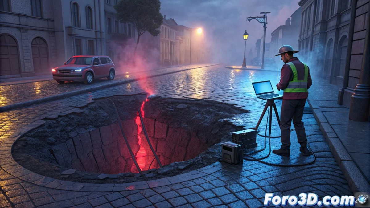
A sudden collapse in the pavement not only paralyzes a city but demands a precise and rapid investigation. In response, experts activate a protocol that applies 3D capture technologies and subsurface sensors. This forensic approach builds a comprehensive digital representation of the incident, from the surface to the depths. 🕳️
A Dual Protocol: Capturing the Surface and the Invisible
The investigation begins with two parallel data streams. On one hand, a 3D laser scanner (such as Faro Scene systems) records the exact geometry of the depression, generating a topographic reference point cloud. Simultaneously, a ground-penetrating radar (GPR) team moves over the area to collect subsurface profiles. These raw radar data are then processed with software like GPR-Slice to filter noise and highlight anomalies. The ultimate goal is to merge these two worlds into a single coherent scene.
The two key sources of evidence:- Surface data: The laser point cloud defines with millimeter precision the edges, depth, and shape of the visible crater.
- Subsurface data: Processed GPR profiles reveal the hidden structure, showing voids, material changes, or pipes under the asphalt.
- Fusion software: 3D geological modeling platforms like Leapfrog or Rockworks serve as the environment where both datasets converge and integrate.
The power of this method lies in integrating surface and subsurface information to visualize continuously from the edge of the sinkhole to the void that caused it.
Building the Integral 3D Model for Precise Diagnosis
In the 3D modeling platform, technicians generate a unified volumetric model. This model is not a simple image but a spatial representation that allows analysis of the physical connection between the surface opening and the internal cavities. By examining the morphology, orientation, and true extent of the underground cavity, investigators can make a well-founded forensic diagnosis.
What does the complete 3D model reveal?- Origin of the collapse: It allows distinguishing between a natural cause (like rock dissolution in a karst system) and an infrastructure failure (like a broken pipe eroding the ground).
- Mechanics of the subsidence: Visualizing how the internal void progresses helps understand why and how the pavement gave way at a specific point.
- Assigning responsibilities: The model serves as technical evidence to determine if a natural factor, design error, or maintenance failure of services was involved.
From Diagnosis to Action: Repair and Prevent
This 3D forensic model goes beyond mere documentation. It becomes the main tool for planning repairs, defining exactly the volume of material to fill and the structures to reinforce. More importantly, the model analysis helps assess risks in adjacent areas, preventing a similar collapse from recurring. The next time the ground gives way, the complex 3D reality reconstructed by forensics will be the guide to making the street safe again. 🛠️