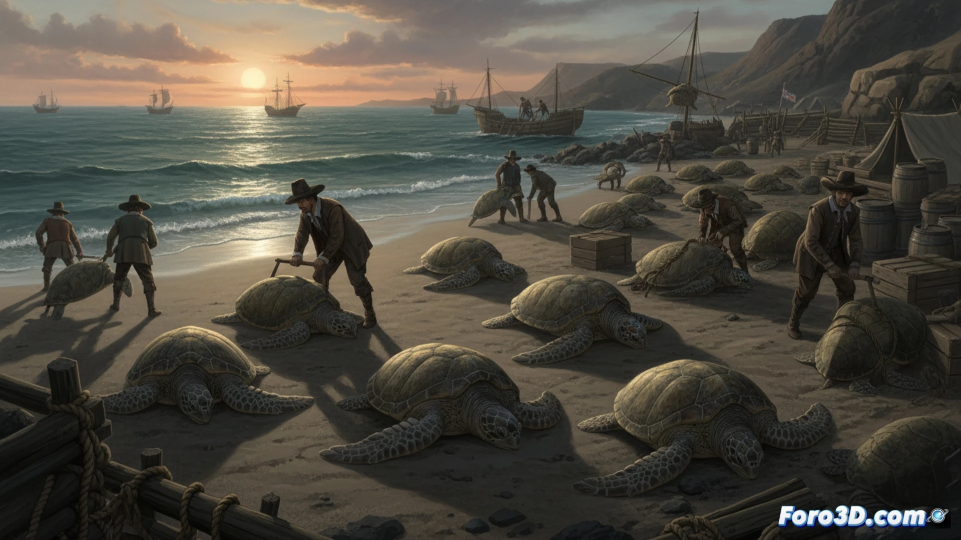
Ascension Island, a remote volcanic enclave in the South Atlantic, holds one of the most dramatic conservation stories in the animal kingdom. For over four centuries, the green turtle (Chelonia mydas) was ruthlessly exploited by Portuguese and British sailors, who flipped the specimens over on the beach to keep their meat fresh during long voyages. This natural storage method enabled a systematic slaughter that brought the species to the brink of local collapse.
Modeling historical data and nesting simulation 🐢
For our scientific visualization project, we propose an interactive 3D recreation that integrates three fundamental data layers. The first layer consists of a photorealistic anatomical model of the green turtle, with carapace and plastron textures generated through photogrammetry of real specimens. The second layer is a simulation of migratory routes connecting Ascension's beaches with feeding grounds off the Brazilian coast, using satellite telemetry data. The third layer is an animated timeline showing nest density on Long Beach and Northeast Bay, contrasting the exploitation period (1501-1976) with the monitoring program initiated in 1977.
From massacre to digital rebirth 🌊
The value of this visualization lies in its ability to make tangible an ecological process spanning centuries. By representing in 3D the transition from a beach covered in empty shells to a protected nesting sanctuary, the user can grasp the magnitude of anthropogenic damage and the species' resilience. The tool also allows overlaying climate data and ocean currents to explore how global change now threatens the success of this recovery, transforming a historical study into an interactive warning for the future.
How can the migratory patterns and population recovery of green turtles on Ascension Island be modeled in 3D to visualize the impact of conservation measures on the marine ecosystem
(PS: at Foro3D we know that even manta rays have better social connections than our polygons)