In light of Civil Protection recommendations for processions and mass events, 3D simulation technology emerges as a key tool. It allows authorities to analyze complex scenarios virtually, identifying risks before they occur. This proactive approach transforms public safety planning, shifting from reaction to data-driven prevention.
Modeling pedestrian flows and analyzing critical points 🧭
Specialized software like MassMotion, AnyLogic, or fluid dynamics tools applied to pedestrians allows for the digital recreation of the urban environment and crowd behavior. Planners can simulate different densities of people, movement speeds (including reduced mobility), and alternative routes. This way, bottlenecks, areas of extreme congestion are identified, and evacuation routes are optimized. The simulation tests the effectiveness of barriers, the location of emergency services, and the impact of changes to the route, generating robust plans based on virtual evidence.
From general recommendation to specific strategy 🗺️
Simulation converts generic recommendations into specific strategies for each location and event. An accurate 3D model considers the exact geometry of streets, steps, and squares, assessing unique risks. This technical anticipation capability not only saves lives but also rationalizes security resources. Integrating these tools into municipal planning is the next step for the modern management of potential catastrophes in crowds.
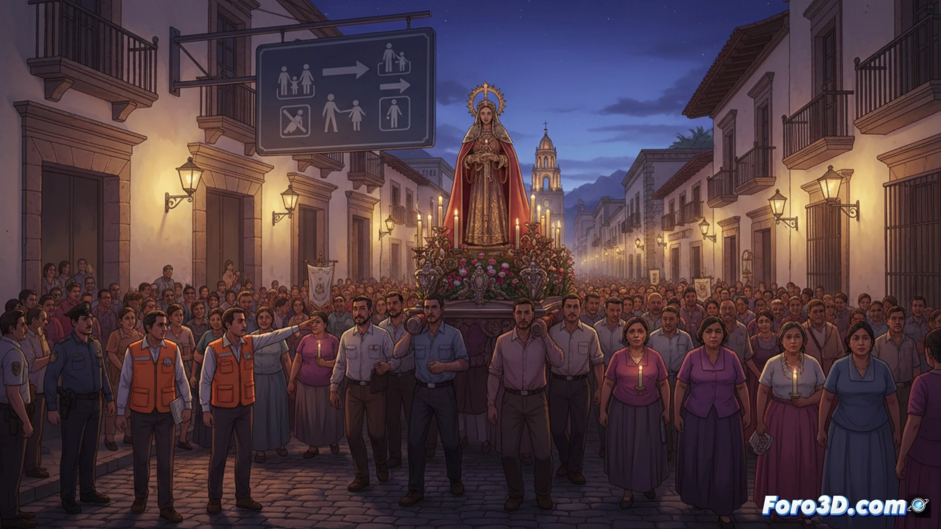
How can 3D simulation predict and prevent critical points of overcrowding in mass events to avoid tragedies?
(PS: Simulating catastrophes is fun until the computer melts down and you are the catastrophe.)