A recent study by the World Health Organization ranks nighttime noise pollution as the second most harmful environmental factor for public health in Europe, second only to air pollution. The data reveals that 20% of the urban population suffers from sleep disturbances directly attributable to traffic noise and nighttime activity. The causal relationship between decibels and wakefulness is no longer a hypothesis, but a measurable epidemiological fact.
3D Modeling of Acoustic Propagation and its Physiological Impact 🎧
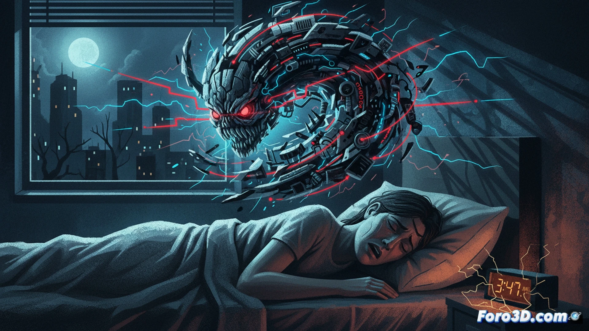
To visualize this phenomenon, we propose an interactive 3D infographic that integrates three levels of analysis. The first consists of a nighttime heat map of the city, where noise intensity is represented by a deformable polygonal mesh that rises in high-traffic density areas. The second level shows a cross-section of a typical dwelling, simulating sound penetration through windows and walls using dynamic particles. The third level details the physiological mechanism with a 3D model of the inner ear and cerebral cortex, animating the transmission of nerve impulses from the cochlea to the amygdala, responsible for activating the alert state that prevents deep sleep.
Silence as Urban Infrastructure 🌙
If noise is a measurable pollutant, silence should be treated as a planifiable public health resource. The correlation between nighttime noise maps and insomnia rates in districts of Madrid or Barcelona shows differences of up to 40% in the prevalence of the disorder. Visualizing this data in 3D not only informs but also pressures urban planners and managers to redesign public spaces with natural acoustic barriers and traffic time regulations. Sleep, after all, is an indicator of environmental quality.
How can nighttime noise exposure be modeled in three dimensions to predict its impact on the population-level prevalence of insomnia
(PS: visualizing obesity in 3D is easy; the hard part is making it not look like a map of solar system planets)