For decades, the image of a dry Mediterranean and its subsequent catastrophic flooding from the Atlantic has captured the imagination. New studies in 2025 nuance this narrative, suggesting a more complex process with partial connections and fluctuations. This is where 3D scientific visualization becomes crucial: to unravel and communicate this new geological reality, transforming complex data into understandable and interactive models.
3D Tools for a Revised Geological History 🗺️
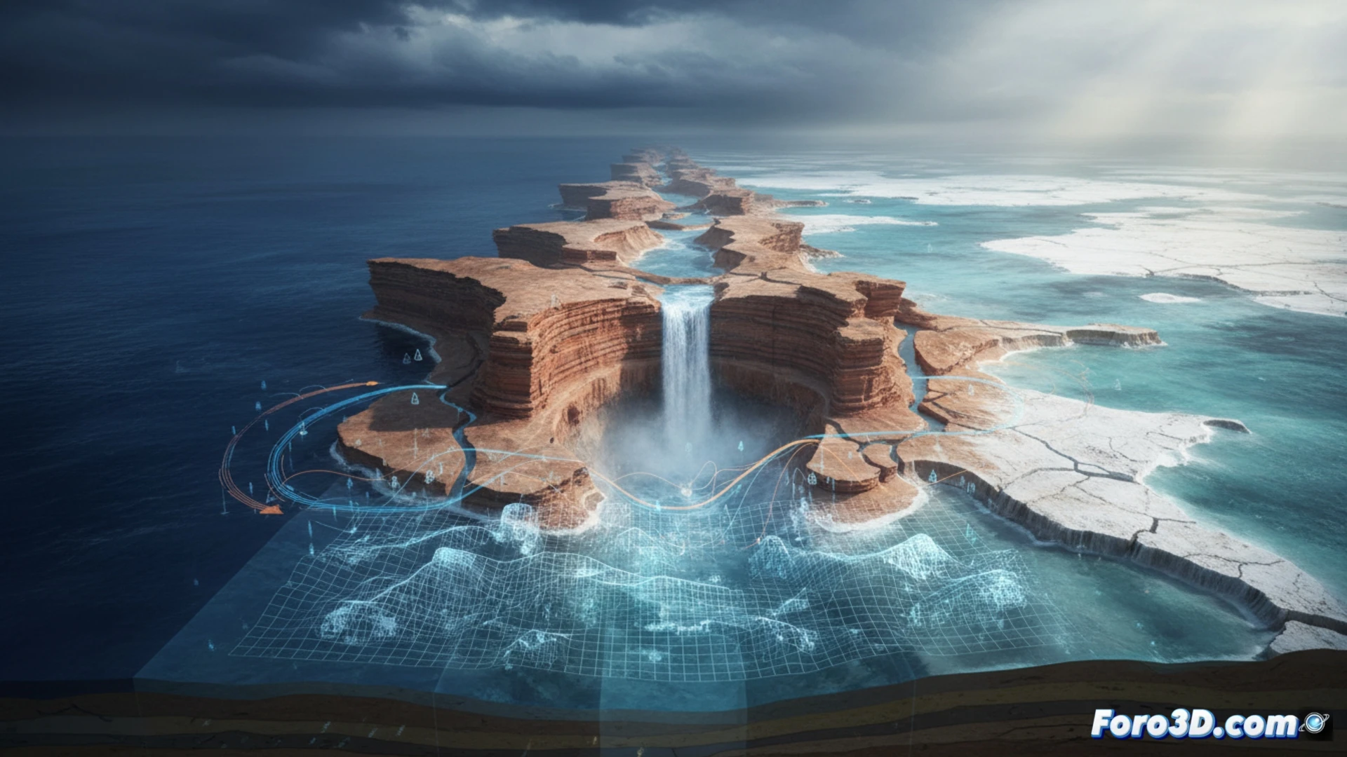
The paradox of salt layers in a not completely isolated sea demands a multidimensional analysis. A geo-referenced 3D model of the Mediterranean allows for the simulation of key variables. We can visualize the hypothesis of a persistent bathymetric threshold at Gibraltar, controlling water flows. By integrating paleoclimatic data, the model would show how changes in precipitation and river inflow affected water levels and salt concentration, avoiding total desiccation. Contrasting abrupt flooding with gradual drainage in the same 3D environment offers a powerful understanding of the evidence.
Beyond the Image: Visualization as a Method 🔬
This case exemplifies that scientific visualization is not just illustration; it is a research tool. An interactive 3D model forces the quantification of relationships and the testing of scenarios, fostering new questions. By making a revised theory tangible, it democratizes complex knowledge. The Messinian crisis is no longer just a past event; it is a digital testing ground for understanding the dynamics of large-scale Earth systems.
How would you animate the behavioral patterns described in the study?