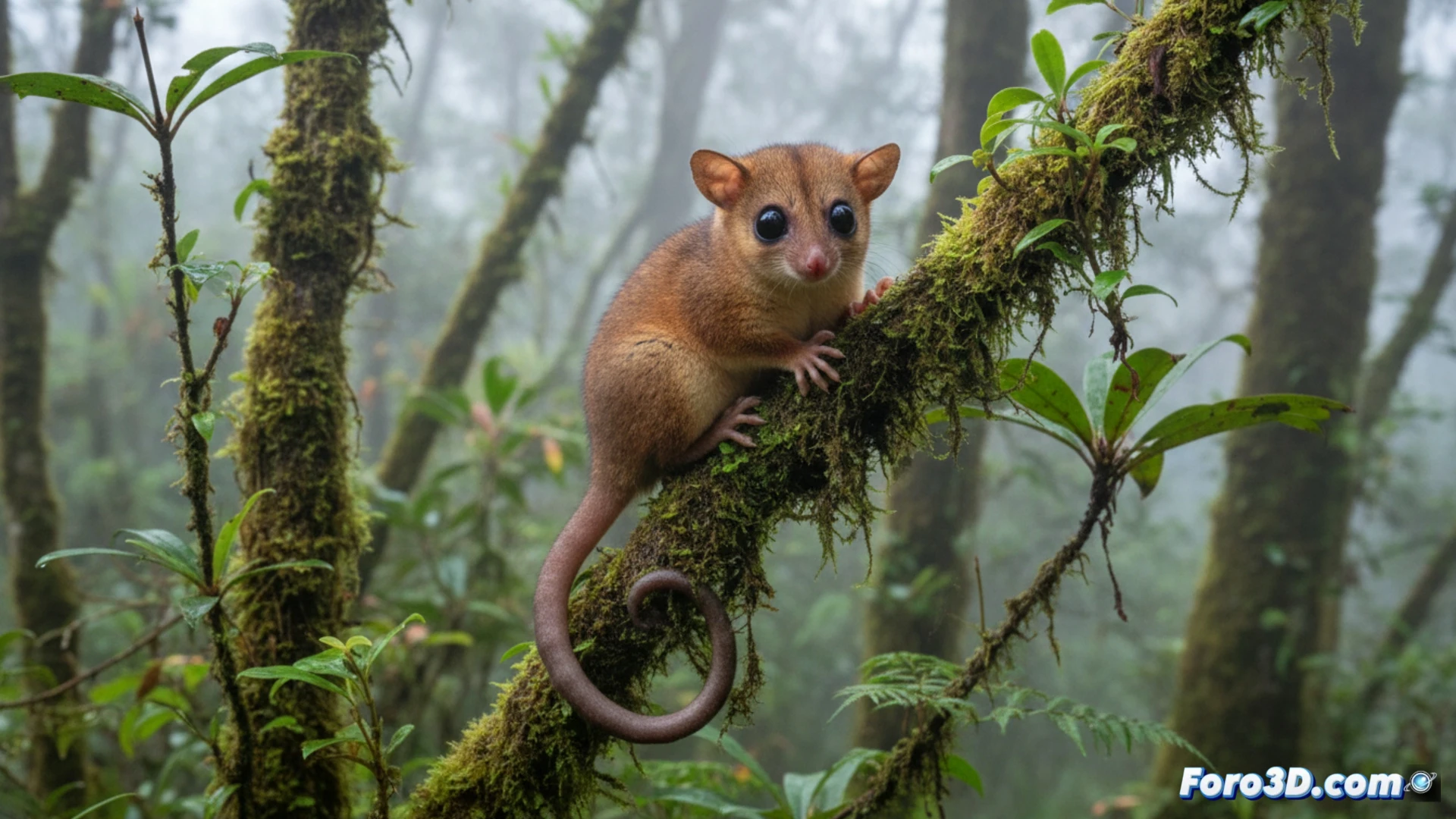
The discovery of Marmosa chachapoya, a small marsupial endemic to the Peruvian Andes at over 2,700 meters, represents a milestone for mammalogy. However, limited access to physical specimens, which are often unique and fragile, hinders collaborative research. This is where scientific visualization, through 3D scanning and photogrammetry techniques, becomes an indispensable tool for democratizing access to biological data.
Photogrammetry and polygon meshing of the Andean specimen 🐭
The process begins with photographic capture of the holotype, a preserved individual of the marsupial. Between 200 and 400 high-resolution images are taken from convergent angles, ensuring 70% overlap between shots. Using photogrammetry software such as Agisoft Metashape, a dense point cloud is generated, which is subsequently converted into a high-fidelity polygon mesh. This textured 3D model allows researchers to rotate, measure, and virtually dissect the external anatomy of Marmosa chachapoya, analyzing adaptations such as its dense fur or cranial morphology for thermoregulation at altitude, all without handling the original specimen.
Visualization as a conservation tool 🌿
Beyond morphology, the 3D representation of the Andean habitat of Marmosa chachapoya allows for simulating its ecological niche. Integrating the marsupial model into a virtual environment reconstructed with LiDAR data from the cloud forests of Chachapoyas helps study its movement and behavior. This scientific visualization not only accelerates the publication of findings but also serves as an educational resource to raise awareness about the conservation of a newly discovered species in an ecosystem threatened by climate change.
As a 3D modeler, what specific technical challenges did you face when digitally reconstructing the anatomy of Marmosa chachapoya from limited field data or museum specimens, and how did you resolve the lack of information about its actual coloration and texture?
(PS: at Foro3D we know that even manta rays have better social connections than our polygons)