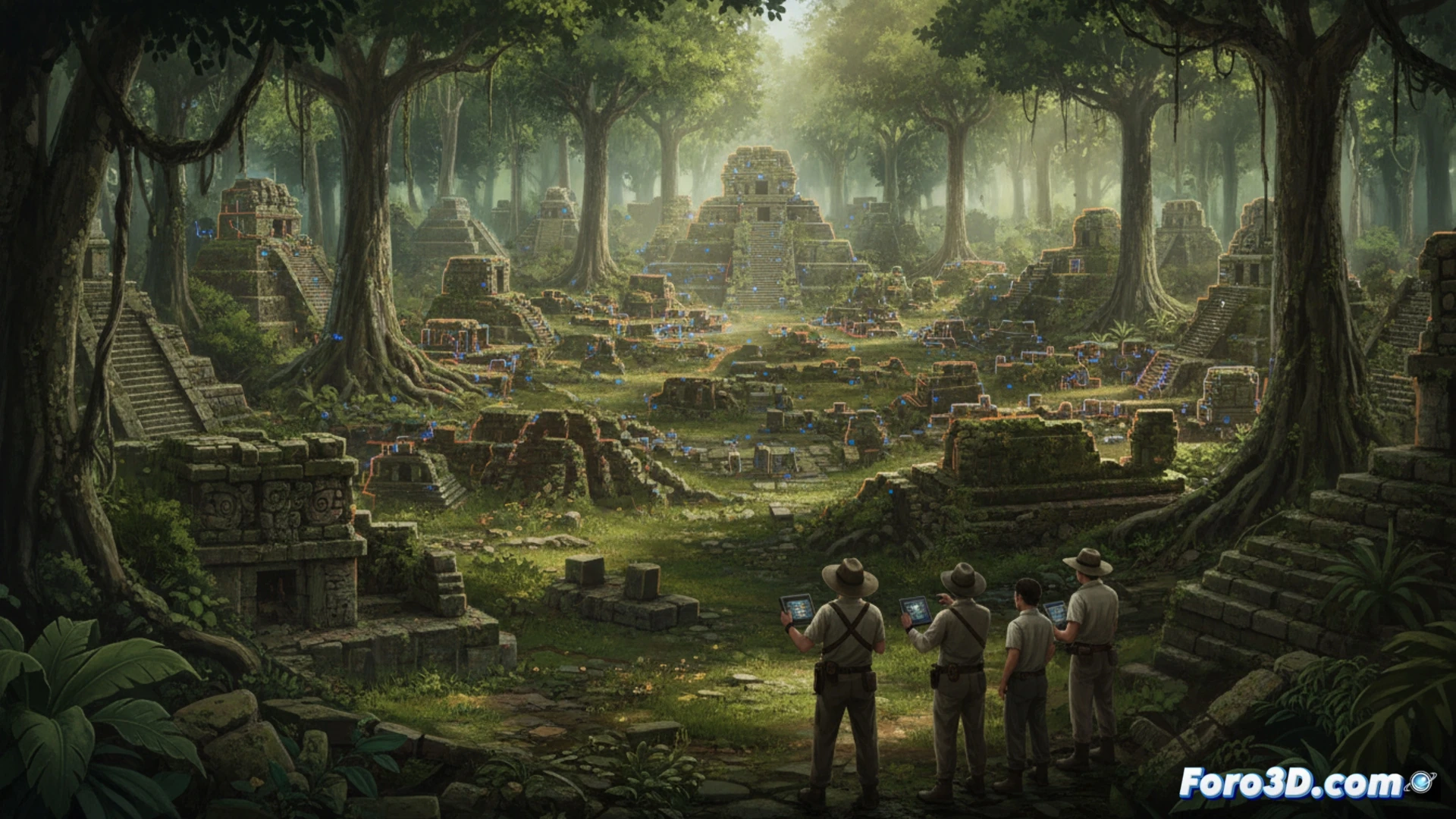
A LiDAR technology study has revealed the existence of an extensive Maya urban network beneath the Petén jungle in Guatemala. The aerial scanning identified over 60,000 previously unknown structures, from houses to ceremonial centers. This finding redefines the scale of the Maya civilization, suggesting a much larger population and a more complex social organization than previously estimated.
How Laser from the Air Rewrites History on the Ground 🗺️
LiDAR emits laser pulses from an aircraft that penetrate the forest canopy. By measuring the return time of each pulse, a precise 3D model of the terrain is generated, digitally removing the vegetation. This technique allows for mapping large areas with a resolution unattainable by traditional methods. The data, processed with specialized algorithms, reveals hidden geometric shapes, tracing complete urban plans without moving a single stone.
The Maya and Their Habit of Building Under the Plants 🌿
It seems the Maya urban planners loved the concept of a garden city, but taken to the extreme. They built a first-class metropolis and then, politely, let it be devoured by the jungle. They've had us for centuries stumbling through vines and pyramids, when the answer was above our heads, in an airplane. A clear case that sometimes, to see what's underneath, you have to look from above.