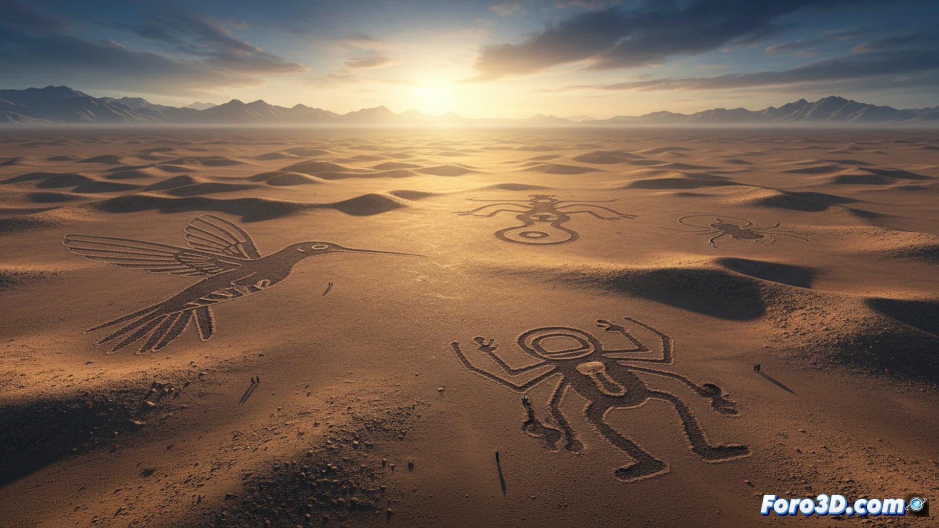
The enigmatic Nazca Lines, those gigantic geoglyphs etched into the Peruvian desert, have challenged archaeologists and historians for decades. Their purpose, whether astronomical, ritual, or related to water management, remains an open debate. Today, Digital Archaeology emerges as a key tool, applying 3D capture and analysis technologies to document, preserve, and study this fragile heritage with unprecedented precision, offering new clues to solve an ancient mystery. 🗿
Drones, Photogrammetry, and LiDAR: Revolutionizing Archaeological Documentation 🚁
Traditional research, limited to a ground-level perspective, has taken a qualitative leap with digital tools. Drones allow for non-invasive overflights of the geoglyphs, capturing thousands of overlapping images. Through photogrammetry, these photographs are converted into high-resolution textured 3D models, capable of revealing minimal erosion or alterations. Technologies like aerial LiDAR can penetrate the surface layer of the terrain, potentially uncovering hidden geoglyphs or related structures. These digital models enable millimeter-precise measurements, more rigorous analysis of alignments with celestial events, and simulation of the visual effect from the ground, providing objective data to the debate about their construction and meaning.
Beyond Preservation: Towards a New Interpretation 🧩
The contribution of 3D technology is not limited to a mere digital copy for conservation. These models act as a permanent and accessible data bank, facilitating collaborative analysis among experts worldwide without the need for physical visits that could damage the site. By integrating different layers of information (topography, hydrology, orientation) into a single virtual environment, new avenues for holistic interpretation are opened. Digital Archaeology, therefore, does not seek to replace fieldwork, but to enhance it, offering a technological magnifying glass to observe the invisible and question, with digital evidence, the theories about this fascinating cultural legacy.
How are aerial photogrammetry and 3D modeling revolutionizing the interpretation of the function and construction of the Nazca Lines?
(PS: If you're excavating a site and find a USB drive, don't plug it in: it might be malware from the Romans.)