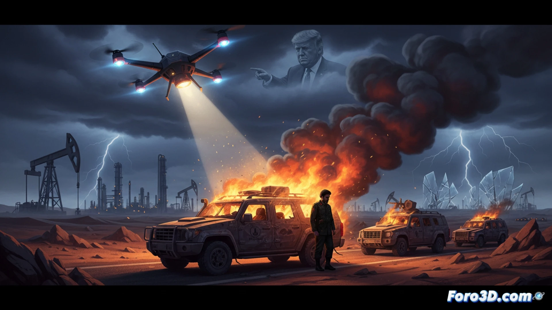
The American attack that eliminated Iranian General Qasem Soleimani in January 2020 was a geopolitical turning point. Ordered by Trump, this unilateral act shattered the precarious balance in the Persian Gulf, ending an old regional order. Gilles Paris's analysis underscores how it left the oil monarchies in a vulnerable position and exposed to retaliation, plunging the region into a stage of uncertainty where the threat of direct conflict replaced containment.
Geospatial visualization and escalation scenario simulation 🎯
A geospatial 3D model of the Persian Gulf allows for an in-depth analysis of this event. This tool can visualize the exact location of the attack, the key military bases involved, and potential Iranian retaliation routes. Beyond recreation, 3D simulation is crucial for projecting escalation scenarios. Troop movements, missile ranges, and asymmetric attack patterns can be modeled, tangibly illustrating how the unilateral action altered the balance of power and exposed the flanks of Washington's regional allies, transforming the security architecture.
Simulation as a tool for strategic awareness 💡
This three-dimensional analysis transcends mere illustration. By making the complex visible, 3D visualization becomes a powerful tool for dissemination and awareness. It allows us to understand how seemingly isolated decisions on a map destabilize an entire regional security system. In a context where diplomacy recedes, these simulations confront us with the spatial and strategic consequences of military action, offering a critical perspective essential for understanding the new and dangerous dynamic in the Gulf.
How can 3D modeling and simulation of precise urban environments help analyze tactical options, collateral risks, and the feasibility of the drone attack that eliminated Qasem Soleimani at Baghdad International Airport?
(PS: 3D war maps are like renders: the more realistic they are, the more time you need to process them)